Vigus Butte Nw Topo Map Nevada
To zoom in, hover over the map of Vigus Butte Nw
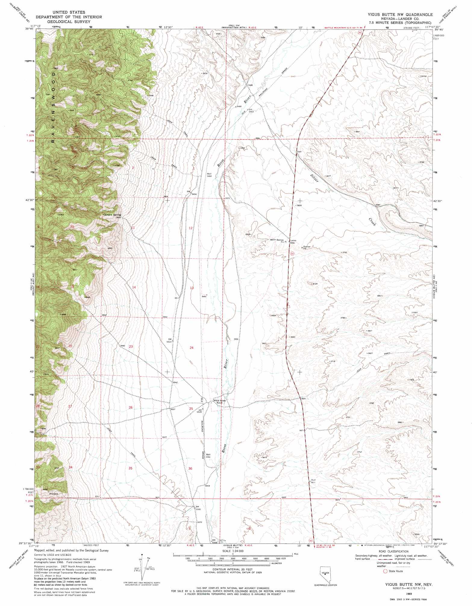
USGS Topo Quad 39117f2 - 1:24,000 scale
| Topo Map Name: | Vigus Butte Nw |
| USGS Topo Quad ID: | 39117f2 |
| Print Size: | ca. 21 1/4" wide x 27" high |
| Southeast Coordinates: | 39.625° N latitude / 117.125° W longitude |
| Map Center Coordinates: | 39.6875° N latitude / 117.1875° W longitude |
| U.S. State: | NV |
| Filename: | o39117f2.jpg |
| Download Map JPG Image: | Vigus Butte Nw topo map 1:24,000 scale |
| Map Type: | Topographic |
| Topo Series: | 7.5´ |
| Map Scale: | 1:24,000 |
| Source of Map Images: | United States Geological Survey (USGS) |
| Alternate Map Versions: |
Vigus Butte NW NV 1969, updated 1971 Download PDF Buy paper map Vigus Butte NW NV 1969, updated 1980 Download PDF Buy paper map Vigus Butte NW NV 2011 Download PDF Buy paper map Vigus Butte NW NV 2014 Download PDF Buy paper map |
1:24,000 Topo Quads surrounding Vigus Butte Nw
Gilbert Creek Nw |
Gilbert Creek Ne |
Manhattan Mountain Nw |
Manhattan Mountain Ne |
Hall Creek North |
Gilbert Creek Sw |
Gilbert Creek Se |
Manhattan Mountain |
Joe Eason Mountain |
Hall Creek South |
New Pass Peak |
Mount Airy Ne |
Vigus Butte Nw |
Vigus Butte Ne |
Mount Callaghan |
Mount Airy |
Mount Airy Mesa |
Vigus Butte |
Yankee Blade |
Barton Spring |
Emigrant Peak |
Gandolfo Canyon |
West Of Austin |
Austin |
Simpson Park Canyon |
> Back to 39117e1 at 1:100,000 scale
> Back to 39116a1 at 1:250,000 scale
> Back to U.S. Topo Maps home
Vigus Butte Nw topo map: Gazetteer
Vigus Butte Nw: Populated Places
Curtis (historical) elevation 1658m 5439′Vigus Butte Nw: Springs
Garden Spring elevation 1771m 5810′Vigus Butte Nw: Streams
Italian Creek elevation 1696m 5564′Silver Creek elevation 1660m 5446′
Vigus Butte Nw digital topo map on disk
Buy this Vigus Butte Nw topo map showing relief, roads, GPS coordinates and other geographical features, as a high-resolution digital map file on DVD: