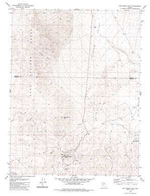
Big Kasock Mountain Topo Map Nevada
To zoom in, hover over the map of Big Kasock Mountain
USGS Topo Quad 39118a3 - 1:24,000 scale
| Topo Map Name: | Big Kasock Mountain |
| USGS Topo Quad ID: | 39118a3 |
| Print Size: | ca. 21 1/4" wide x 27" high |
| Southeast Coordinates: | 39° N latitude / 118.25° W longitude |
| Map Center Coordinates: | 39.0625° N latitude / 118.3125° W longitude |
| U.S. State: | NV |
| Filename: | o39118a3.jpg |
| Download Map JPG Image: | Big Kasock Mountain topo map 1:24,000 scale |
| Map Type: | Topographic |
| Topo Series: | 7.5´ |
| Map Scale: | 1:24,000 |
| Source of Map Images: | United States Geological Survey (USGS) |
| Alternate Map Versions: |
Big Kasock Mtn NV 1980, updated 1980 Download PDF Buy paper map Big Kasock Mountain NV 2011 Download PDF Buy paper map Big Kasock Mountain NV 2014 Download PDF Buy paper map |
1:24,000 Topo Quads surrounding Big Kasock Mountain
> Back to 39118a1 at 1:100,000 scale
> Back to 39118a1 at 1:250,000 scale
> Back to U.S. Topo Maps home
Big Kasock Mountain topo map: Gazetteer
Big Kasock Mountain: Flats
Little Bell Flat elevation 1663m 5456′Big Kasock Mountain: Mines
Eagleville Mine elevation 1690m 5544′Hooper Mine elevation 1644m 5393′
Nevada Scheelite Mine elevation 1555m 5101′
Rawhide Tungsten Mine elevation 1916m 6286′
Scheelite Extension Mine elevation 1625m 5331′
Sunnyside Mine elevation 1615m 5298′
Yankee Girl Mine elevation 1613m 5291′
Big Kasock Mountain: Populated Places
Eagleville (historical) elevation 1695m 5561′Big Kasock Mountain: Post Offices
Eagleville Post Office (historical) elevation 1695m 5561′Big Kasock Mountain: Ranges
Sand Springs Range elevation 2244m 7362′Big Kasock Mountain: Summits
Big Kasock Mountain elevation 2176m 7139′Sand Springs Range Cairn elevation 2272m 7454′
Big Kasock Mountain: Valleys
Contact Canyon elevation 1646m 5400′Big Kasock Mountain: Wells
Little Bell Flat Well elevation 1645m 5396′Big Kasock Mountain digital topo map on disk
Buy this Big Kasock Mountain topo map showing relief, roads, GPS coordinates and other geographical features, as a high-resolution digital map file on DVD:


