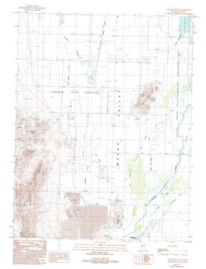
Mason Butte Topo Map Nevada
To zoom in, hover over the map of Mason Butte
USGS Topo Quad 39119a2 - 1:24,000 scale
| Topo Map Name: | Mason Butte |
| USGS Topo Quad ID: | 39119a2 |
| Print Size: | ca. 21 1/4" wide x 27" high |
| Southeast Coordinates: | 39° N latitude / 119.125° W longitude |
| Map Center Coordinates: | 39.0625° N latitude / 119.1875° W longitude |
| U.S. State: | NV |
| Filename: | o39119a2.jpg |
| Download Map JPG Image: | Mason Butte topo map 1:24,000 scale |
| Map Type: | Topographic |
| Topo Series: | 7.5´ |
| Map Scale: | 1:24,000 |
| Source of Map Images: | United States Geological Survey (USGS) |
| Alternate Map Versions: |
Mason Butte NV 1987, updated 1987 Download PDF Buy paper map Mason Butte NV 1987, updated 1993 Download PDF Buy paper map Mason Butte NV 2011 Download PDF Buy paper map Mason Butte NV 2014 Download PDF Buy paper map |
1:24,000 Topo Quads surrounding Mason Butte
> Back to 39119a1 at 1:100,000 scale
> Back to 39118a1 at 1:250,000 scale
> Back to U.S. Topo Maps home
Mason Butte topo map: Gazetteer
Mason Butte: Airports
Yerington Municipal Airport elevation 1334m 4376′Mason Butte: Basins
Mason Valley elevation 1324m 4343′Mason Butte: Canals
Campbell Ditch elevation 1336m 4383′East Campbell Ditch elevation 1329m 4360′
Nichols-Merritt Ditch elevation 1331m 4366′
Sand Ridge Ditch elevation 1325m 4347′
Spragg-Alcorn-Bewley Ditch elevation 1324m 4343′
Wabuska Drain elevation 1314m 4311′
West Campbell Ditch elevation 1324m 4343′
West Hyland Ditch elevation 1330m 4363′
Mason Butte: Dams
Yerington Mill Dam elevation 1482m 4862′Yerington Mill Number Two Dam elevation 1334m 4376′
Yerington Mill Pond AA Dam elevation 1339m 4393′
Yerington Mill Pond BB Dam elevation 1354m 4442′
Mason Butte: Populated Places
Greenville elevation 1329m 4360′Mason Butte: Reservoirs
Fort Churchill Cooling Ponds elevation 1317m 4320′Mason Butte: Summits
Carson Hill elevation 1517m 4977′Mason Butte elevation 1413m 4635′
McLeod Hill elevation 1397m 4583′
Mason Butte: Wells
Farias Well elevation 1314m 4311′Mason Butte digital topo map on disk
Buy this Mason Butte topo map showing relief, roads, GPS coordinates and other geographical features, as a high-resolution digital map file on DVD:


