Parker Butte Topo Map Nevada
To zoom in, hover over the map of Parker Butte
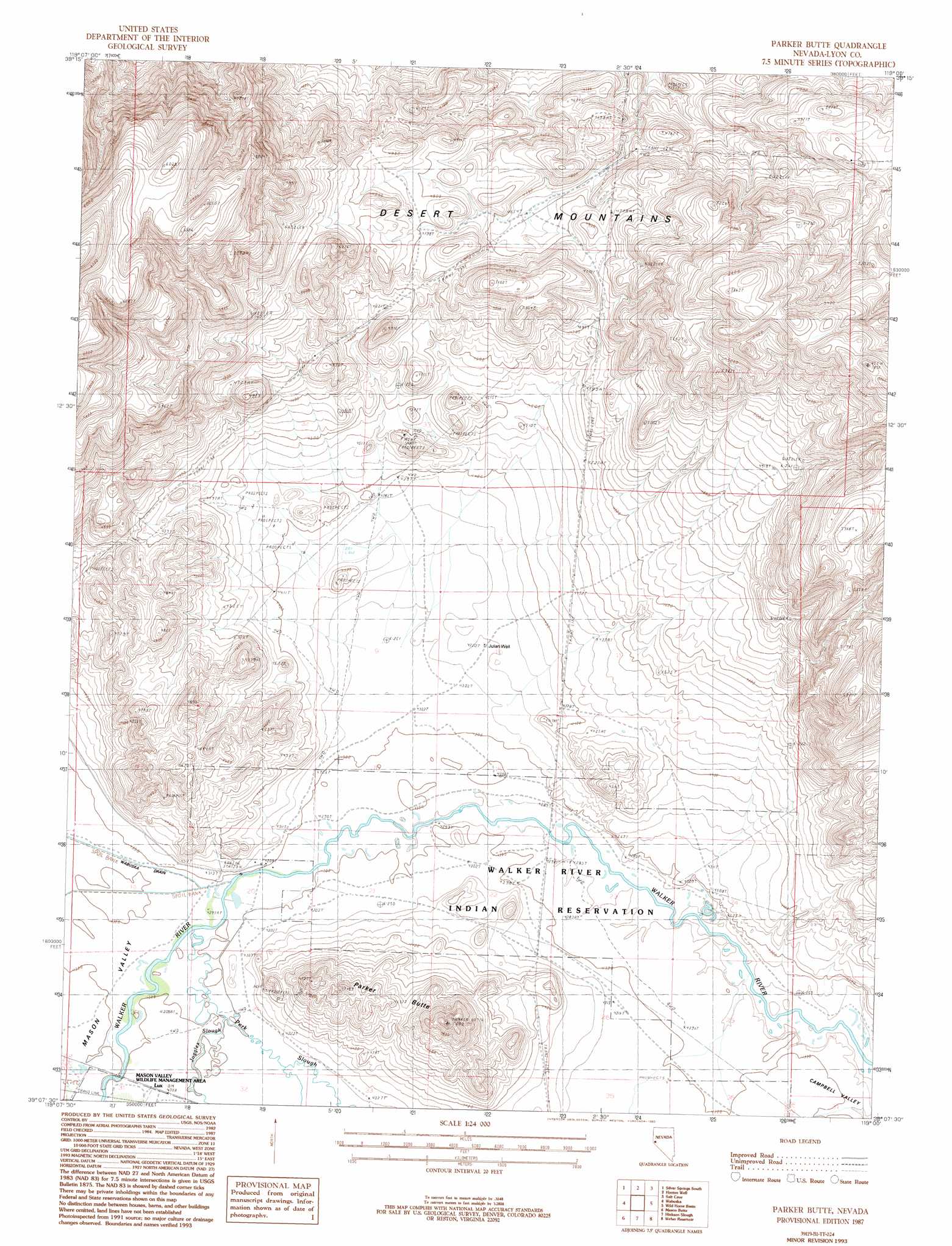
USGS Topo Quad 39119b1 - 1:24,000 scale
| Topo Map Name: | Parker Butte |
| USGS Topo Quad ID: | 39119b1 |
| Print Size: | ca. 21 1/4" wide x 27" high |
| Southeast Coordinates: | 39.125° N latitude / 119° W longitude |
| Map Center Coordinates: | 39.1875° N latitude / 119.0625° W longitude |
| U.S. State: | NV |
| Filename: | o39119b1.jpg |
| Download Map JPG Image: | Parker Butte topo map 1:24,000 scale |
| Map Type: | Topographic |
| Topo Series: | 7.5´ |
| Map Scale: | 1:24,000 |
| Source of Map Images: | United States Geological Survey (USGS) |
| Alternate Map Versions: |
Parker Butte NV 1987, updated 1987 Download PDF Buy paper map Parker Butte NV 1987, updated 1993 Download PDF Buy paper map Parker Butte NV 2011 Download PDF Buy paper map Parker Butte NV 2014 Download PDF Buy paper map |
1:24,000 Topo Quads surrounding Parker Butte
Stockton Well |
Silver Springs North |
Lahontan Dam |
Sheckler Reservoir |
Fallon |
Churchill Butte |
Silver Springs South |
Hooten Well |
Salt Cave |
South Of Fallon |
Churchill Canyon Well |
Wabuska |
Parker Butte |
Wild Horse Basin |
Russell Spit |
Lincoln Flat |
Mason Butte |
Hinkson Slough |
Weber Reservoir |
Weber Dam |
Artesia Lake |
Yerington |
Yerington Ne |
Hussman Spring |
Schurz |
> Back to 39119a1 at 1:100,000 scale
> Back to 39118a1 at 1:250,000 scale
> Back to U.S. Topo Maps home
Parker Butte topo map: Gazetteer
Parker Butte: Populated Places
Lux elevation 1312m 4304′Parker Butte: Springs
Black Point Spring elevation 1312m 4304′Parker Butte: Streams
Perk Slough elevation 1311m 4301′Parker Butte: Summits
Parker Butte elevation 1488m 4881′Parker Butte: Wells
Julian Well elevation 1323m 4340′Parker Butte digital topo map on disk
Buy this Parker Butte topo map showing relief, roads, GPS coordinates and other geographical features, as a high-resolution digital map file on DVD: