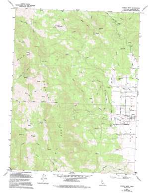
Covelo West Topo Map California
To zoom in, hover over the map of Covelo West
USGS Topo Quad 39123g3 - 1:24,000 scale
| Topo Map Name: | Covelo West |
| USGS Topo Quad ID: | 39123g3 |
| Print Size: | ca. 21 1/4" wide x 27" high |
| Southeast Coordinates: | 39.75° N latitude / 123.25° W longitude |
| Map Center Coordinates: | 39.8125° N latitude / 123.3125° W longitude |
| U.S. State: | CA |
| Filename: | o39123g3.jpg |
| Download Map JPG Image: | Covelo West topo map 1:24,000 scale |
| Map Type: | Topographic |
| Topo Series: | 7.5´ |
| Map Scale: | 1:24,000 |
| Source of Map Images: | United States Geological Survey (USGS) |
| Alternate Map Versions: |
Covelo West CA 1967 Download PDF Buy paper map Covelo West CA 1967, updated 1969 Download PDF Buy paper map Covelo West CA 1967, updated 1969 Download PDF Buy paper map Covelo West CA 1967, updated 1994 Download PDF Buy paper map Covelo West CA 2012 Download PDF Buy paper map Covelo West CA 2015 Download PDF Buy paper map |
1:24,000 Topo Quads surrounding Covelo West
> Back to 39123e1 at 1:100,000 scale
> Back to 39122a1 at 1:250,000 scale
> Back to U.S. Topo Maps home
Covelo West topo map: Gazetteer
Covelo West: Airports
Round Valley Airport elevation 434m 1423′Covelo West: Flats
Davis Salt Ground elevation 992m 3254′Eberle Flat elevation 744m 2440′
Grapevine Flat elevation 603m 1978′
Little Valley elevation 468m 1535′
Skunk Flat elevation 721m 2365′
Covelo West: Lakes
Perry Ridge Lake elevation 608m 1994′Covelo West: Ridges
Eberle Ridge elevation 728m 2388′Gas Mine Ridge elevation 1152m 3779′
Perry Ridge elevation 577m 1893′
Poonkinny Ridge elevation 1245m 4084′
Windy Ridge elevation 899m 2949′
Covelo West: Streams
Alder Creek elevation 475m 1558′Big Rock Creek elevation 437m 1433′
Cold Creek elevation 476m 1561′
Doan Creek elevation 474m 1555′
Little Valley Creek elevation 452m 1482′
Mud Creek elevation 535m 1755′
Willsey Creek elevation 548m 1797′
Covelo West: Summits
Big Rock elevation 584m 1916′Medicine Hill elevation 517m 1696′
Covelo West digital topo map on disk
Buy this Covelo West topo map showing relief, roads, GPS coordinates and other geographical features, as a high-resolution digital map file on DVD:


