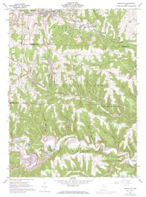
Salineville Topo Map Ohio
To zoom in, hover over the map of Salineville
USGS Topo Quad 40080e7 - 1:24,000 scale
| Topo Map Name: | Salineville |
| USGS Topo Quad ID: | 40080e7 |
| Print Size: | ca. 21 1/4" wide x 27" high |
| Southeast Coordinates: | 40.5° N latitude / 80.75° W longitude |
| Map Center Coordinates: | 40.5625° N latitude / 80.8125° W longitude |
| U.S. State: | OH |
| Filename: | o40080e7.jpg |
| Download Map JPG Image: | Salineville topo map 1:24,000 scale |
| Map Type: | Topographic |
| Topo Series: | 7.5´ |
| Map Scale: | 1:24,000 |
| Source of Map Images: | United States Geological Survey (USGS) |
| Alternate Map Versions: |
Salineville OH 1960, updated 1962 Download PDF Buy paper map Salineville OH 1960, updated 1972 Download PDF Buy paper map Salineville OH 1994, updated 1998 Download PDF Buy paper map Salineville OH 2010 Download PDF Buy paper map Salineville OH 2013 Download PDF Buy paper map Salineville OH 2016 Download PDF Buy paper map |
1:24,000 Topo Quads surrounding Salineville
> Back to 40080e1 at 1:100,000 scale
> Back to 40080a1 at 1:250,000 scale
> Back to U.S. Topo Maps home
Salineville topo map: Gazetteer
Salineville: Dams
Rod Lake Dam elevation 283m 928′Salineville: Lakes
Lake George elevation 249m 816′Salineville: Parks
Brush Creek Wildlife Area elevation 390m 1279′Salineville: Populated Places
Diamond Valley elevation 297m 974′East Salineville (historical) elevation 262m 859′
Haysville (historical) elevation 261m 856′
Holt elevation 244m 800′
Monroeville elevation 393m 1289′
Pine Hill elevation 376m 1233′
Pravo elevation 247m 810′
Salineville elevation 274m 898′
Salineville: Post Offices
Holt Post Office (historical) elevation 245m 803′Pinehill Post Office (historical) elevation 376m 1233′
Pravo Post Office (historical) elevation 260m 853′
Salineville Post Office elevation 274m 898′
Salineville: Reservoirs
Reel Lake elevation 279m 915′Rod Lake elevation 283m 928′
Salineville: Streams
Allman Run elevation 295m 967′Brimstone Run elevation 246m 807′
Dry Run elevation 254m 833′
Granny Bour elevation 243m 797′
Long Run elevation 231m 757′
Mathews Run elevation 256m 839′
McLain Run elevation 241m 790′
Nancy Run elevation 280m 918′
Ralston Run elevation 246m 807′
Riley Run elevation 273m 895′
Roach Run elevation 235m 770′
Roach Run elevation 268m 879′
Rose Run elevation 293m 961′
Salineville digital topo map on disk
Buy this Salineville topo map showing relief, roads, GPS coordinates and other geographical features, as a high-resolution digital map file on DVD:


