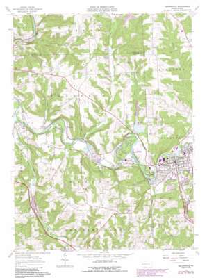
Zelienople Topo Map Pennsylvania
To zoom in, hover over the map of Zelienople
USGS Topo Quad 40080g2 - 1:24,000 scale
| Topo Map Name: | Zelienople |
| USGS Topo Quad ID: | 40080g2 |
| Print Size: | ca. 21 1/4" wide x 27" high |
| Southeast Coordinates: | 40.75° N latitude / 80.125° W longitude |
| Map Center Coordinates: | 40.8125° N latitude / 80.1875° W longitude |
| U.S. State: | PA |
| Filename: | o40080g2.jpg |
| Download Map JPG Image: | Zelienople topo map 1:24,000 scale |
| Map Type: | Topographic |
| Topo Series: | 7.5´ |
| Map Scale: | 1:24,000 |
| Source of Map Images: | United States Geological Survey (USGS) |
| Alternate Map Versions: |
Zelienople PA 1958, updated 1959 Download PDF Buy paper map Zelienople PA 1958, updated 1966 Download PDF Buy paper map Zelienople PA 1958, updated 1970 Download PDF Buy paper map Zelienople PA 1958, updated 1970 Download PDF Buy paper map Zelienople PA 1958, updated 1983 Download PDF Buy paper map Zelienople PA 1958, updated 1990 Download PDF Buy paper map Zelienople PA 1958, updated 1990 Download PDF Buy paper map Zelienople PA 2010 Download PDF Buy paper map Zelienople PA 2013 Download PDF Buy paper map Zelienople PA 2016 Download PDF Buy paper map |
1:24,000 Topo Quads surrounding Zelienople
> Back to 40080e1 at 1:100,000 scale
> Back to 40080a1 at 1:250,000 scale
> Back to U.S. Topo Maps home
Zelienople topo map: Gazetteer
Zelienople: Airports
Zelienople Municipal Airport elevation 268m 879′Zelienople: Dams
Lower Hereford Manor Dam elevation 278m 912′Zelienople: Lakes
Bates Lake elevation 297m 974′Zelienople: Populated Places
Barrisville elevation 290m 951′Brintons Corners elevation 297m 974′
Celia elevation 269m 882′
Fombell elevation 268m 879′
Goehring elevation 272m 892′
Harmony elevation 280m 918′
Hazen elevation 285m 935′
Lillyville elevation 369m 1210′
Old Furnace elevation 283m 928′
Pyles Mills elevation 305m 1000′
Zelienople elevation 287m 941′
Zelienople: Reservoirs
Hereford Manor Lake elevation 284m 931′Zelienople: Streams
Brush Creek elevation 273m 895′Buck Run elevation 283m 928′
Camp Run elevation 264m 866′
Doe Run elevation 272m 892′
Glade Run elevation 273m 895′
Hazen Run elevation 269m 882′
Muntz Run elevation 273m 895′
Scholars Run elevation 277m 908′
Zelienople digital topo map on disk
Buy this Zelienople topo map showing relief, roads, GPS coordinates and other geographical features, as a high-resolution digital map file on DVD:


