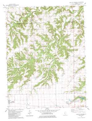
Lake Mount Sterling Topo Map Illinois
To zoom in, hover over the map of Lake Mount Sterling
USGS Topo Quad 40090a7 - 1:24,000 scale
| Topo Map Name: | Lake Mount Sterling |
| USGS Topo Quad ID: | 40090a7 |
| Print Size: | ca. 21 1/4" wide x 27" high |
| Southeast Coordinates: | 40° N latitude / 90.75° W longitude |
| Map Center Coordinates: | 40.0625° N latitude / 90.8125° W longitude |
| U.S. State: | IL |
| Filename: | o40090a7.jpg |
| Download Map JPG Image: | Lake Mount Sterling topo map 1:24,000 scale |
| Map Type: | Topographic |
| Topo Series: | 7.5´ |
| Map Scale: | 1:24,000 |
| Source of Map Images: | United States Geological Survey (USGS) |
| Alternate Map Versions: |
Lake Mt. Sterling IL 1981, updated 1981 Download PDF Buy paper map Lake Mount Sterling IL 2012 Download PDF Buy paper map Lake Mount Sterling IL 2015 Download PDF Buy paper map |
1:24,000 Topo Quads surrounding Lake Mount Sterling
> Back to 40090a1 at 1:100,000 scale
> Back to 40090a1 at 1:250,000 scale
> Back to U.S. Topo Maps home
Lake Mount Sterling topo map: Gazetteer
Lake Mount Sterling: Dams
Lake Mount Sterling Dam elevation 193m 633′Lake Mount Sterling: Mines
Bates Mine elevation 182m 597′Cruser Mine elevation 181m 593′
Pit 10 Cedar Creek Mine elevation 189m 620′
Pit 11 Cedar Creek Mine elevation 183m 600′
Pit 12 Cedar Creek Mine elevation 190m 623′
Pit 13 Cedar Creek Mine elevation 186m 610′
Pit 14 Cedar Creek Mine elevation 186m 610′
Pit 15 Cedar Creek Mine elevation 186m 610′
Pit 16 Cedar Creek Mine elevation 191m 626′
Pit 9 Cedar Creek Mine elevation 184m 603′
Lake Mount Sterling: Populated Places
Damon elevation 209m 685′Timewell elevation 230m 754′
Lake Mount Sterling: Reservoirs
Lake Mount Sterling elevation 193m 633′Lake Mount Sterling: Streams
Grand Tower Branch elevation 155m 508′Little Missouri Creek elevation 143m 469′
South Branch elevation 163m 534′
Lake Mount Sterling digital topo map on disk
Buy this Lake Mount Sterling topo map showing relief, roads, GPS coordinates and other geographical features, as a high-resolution digital map file on DVD:


