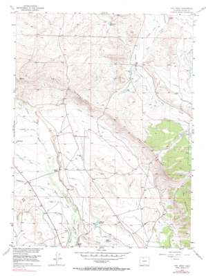
Owl Ridge Topo Map Colorado
To zoom in, hover over the map of Owl Ridge
USGS Topo Quad 40106e2 - 1:24,000 scale
| Topo Map Name: | Owl Ridge |
| USGS Topo Quad ID: | 40106e2 |
| Print Size: | ca. 21 1/4" wide x 27" high |
| Southeast Coordinates: | 40.5° N latitude / 106.125° W longitude |
| Map Center Coordinates: | 40.5625° N latitude / 106.1875° W longitude |
| U.S. State: | CO |
| Filename: | o40106e2.jpg |
| Download Map JPG Image: | Owl Ridge topo map 1:24,000 scale |
| Map Type: | Topographic |
| Topo Series: | 7.5´ |
| Map Scale: | 1:24,000 |
| Source of Map Images: | United States Geological Survey (USGS) |
| Alternate Map Versions: |
Owl Ridge CO 1955, updated 1957 Download PDF Buy paper map Owl Ridge CO 1955, updated 1957 Download PDF Buy paper map Owl Ridge CO 1955, updated 1965 Download PDF Buy paper map Owl Ridge CO 1955, updated 1969 Download PDF Buy paper map Owl Ridge CO 1955, updated 1990 Download PDF Buy paper map Owl Ridge CO 2010 Download PDF Buy paper map Owl Ridge CO 2013 Download PDF Buy paper map Owl Ridge CO 2016 Download PDF Buy paper map |
1:24,000 Topo Quads surrounding Owl Ridge
> Back to 40106e1 at 1:100,000 scale
> Back to 40106a1 at 1:250,000 scale
> Back to U.S. Topo Maps home
Owl Ridge topo map: Gazetteer
Owl Ridge: Canals
Deer Ditch elevation 2600m 8530′First Extension Owl Ditch elevation 2618m 8589′
Howard Ditch elevation 2568m 8425′
Ish Baldwin Ditch elevation 2528m 8293′
Lowland Ditch elevation 2567m 8421′
Mac Farlane Ditch elevation 2574m 8444′
Midland Supply Ditch elevation 2569m 8428′
Owl Mountain Ditch elevation 2652m 8700′
Pioneer Ditch elevation 2554m 8379′
Soldiers Home Ditch elevation 2581m 8467′
Owl Ridge: Dams
Shawver Dam elevation 2589m 8494′Owl Ridge: Reservoirs
Rand Reservoir elevation 2579m 8461′Shawver Reservoir elevation 2589m 8494′
Thirty One Reservoir elevation 2519m 8264′
Owl Ridge: Ridges
Owl Ridge elevation 2685m 8809′Owl Ridge: Springs
Road Spring elevation 2604m 8543′Owl Ridge: Streams
Deer Creek elevation 2529m 8297′Indian Creek elevation 2568m 8425′
Willow Creek elevation 2562m 8405′
Owl Ridge: Valleys
Alderdice Draw elevation 2609m 8559′Owl Ridge digital topo map on disk
Buy this Owl Ridge topo map showing relief, roads, GPS coordinates and other geographical features, as a high-resolution digital map file on DVD:


