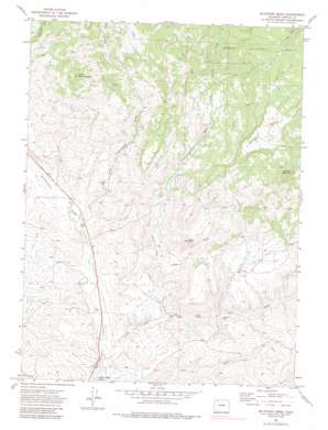
Mcinturf Mesa Topo Map Colorado
To zoom in, hover over the map of Mcinturf Mesa
USGS Topo Quad 40107f4 - 1:24,000 scale
| Topo Map Name: | Mcinturf Mesa |
| USGS Topo Quad ID: | 40107f4 |
| Print Size: | ca. 21 1/4" wide x 27" high |
| Southeast Coordinates: | 40.625° N latitude / 107.375° W longitude |
| Map Center Coordinates: | 40.6875° N latitude / 107.4375° W longitude |
| U.S. State: | CO |
| Filename: | o40107f4.jpg |
| Download Map JPG Image: | Mcinturf Mesa topo map 1:24,000 scale |
| Map Type: | Topographic |
| Topo Series: | 7.5´ |
| Map Scale: | 1:24,000 |
| Source of Map Images: | United States Geological Survey (USGS) |
| Alternate Map Versions: |
Mc Inturf Mesa CO 1971, updated 1974 Download PDF Buy paper map Mc Inturf Mesa CO 1971, updated 1974 Download PDF Buy paper map Mc Inturf Mesa CO 1971, updated 1985 Download PDF Buy paper map Mc Inturf Mesa CO 1971, updated 2000 Download PDF Buy paper map Mc Inturf Mesa CO 2000, updated 2004 Download PDF Buy paper map McInturf Mesa CO 2011 Download PDF Buy paper map McInturf Mesa CO 2013 Download PDF Buy paper map McInturf Mesa CO 2016 Download PDF Buy paper map |
| FStopo: | US Forest Service topo McInturf Mesa is available: Download FStopo PDF Download FStopo TIF |
1:24,000 Topo Quads surrounding Mcinturf Mesa
> Back to 40107e1 at 1:100,000 scale
> Back to 40106a1 at 1:250,000 scale
> Back to U.S. Topo Maps home
Mcinturf Mesa topo map: Gazetteer
Mcinturf Mesa: Canals
Cataract Ditch elevation 2498m 8195′Elkhorn Ditch elevation 2037m 6683′
Little Bear Ditch elevation 2004m 6574′
Mcinturf Mesa: Mines
Bridges Mine elevation 1970m 6463′Community Mine elevation 2027m 6650′
Seymour Mine elevation 1992m 6535′
Mcinturf Mesa: Reservoirs
Dry Cottonwood Reservoir elevation 2390m 7841′Mcinturf Mesa: Streams
Cottonwood Creek elevation 1953m 6407′Dry Cottonwood Creek elevation 1951m 6400′
Dry Fork Little Bear Creek elevation 1951m 6400′
Falls Creek elevation 2497m 8192′
Little Bear Creek elevation 1927m 6322′
Taylor Creek elevation 2170m 7119′
Mcinturf Mesa: Summits
Cedar Hill elevation 2147m 7043′Little Buck Mountain elevation 2467m 8093′
McInturf Mesa elevation 2502m 8208′
Pinnacle Mountain elevation 2517m 8257′
Mcinturf Mesa: Valleys
Cedar Hill Gulch elevation 1978m 6489′Mcinturf Mesa digital topo map on disk
Buy this Mcinturf Mesa topo map showing relief, roads, GPS coordinates and other geographical features, as a high-resolution digital map file on DVD:


