Elk Springs Topo Map Colorado
To zoom in, hover over the map of Elk Springs
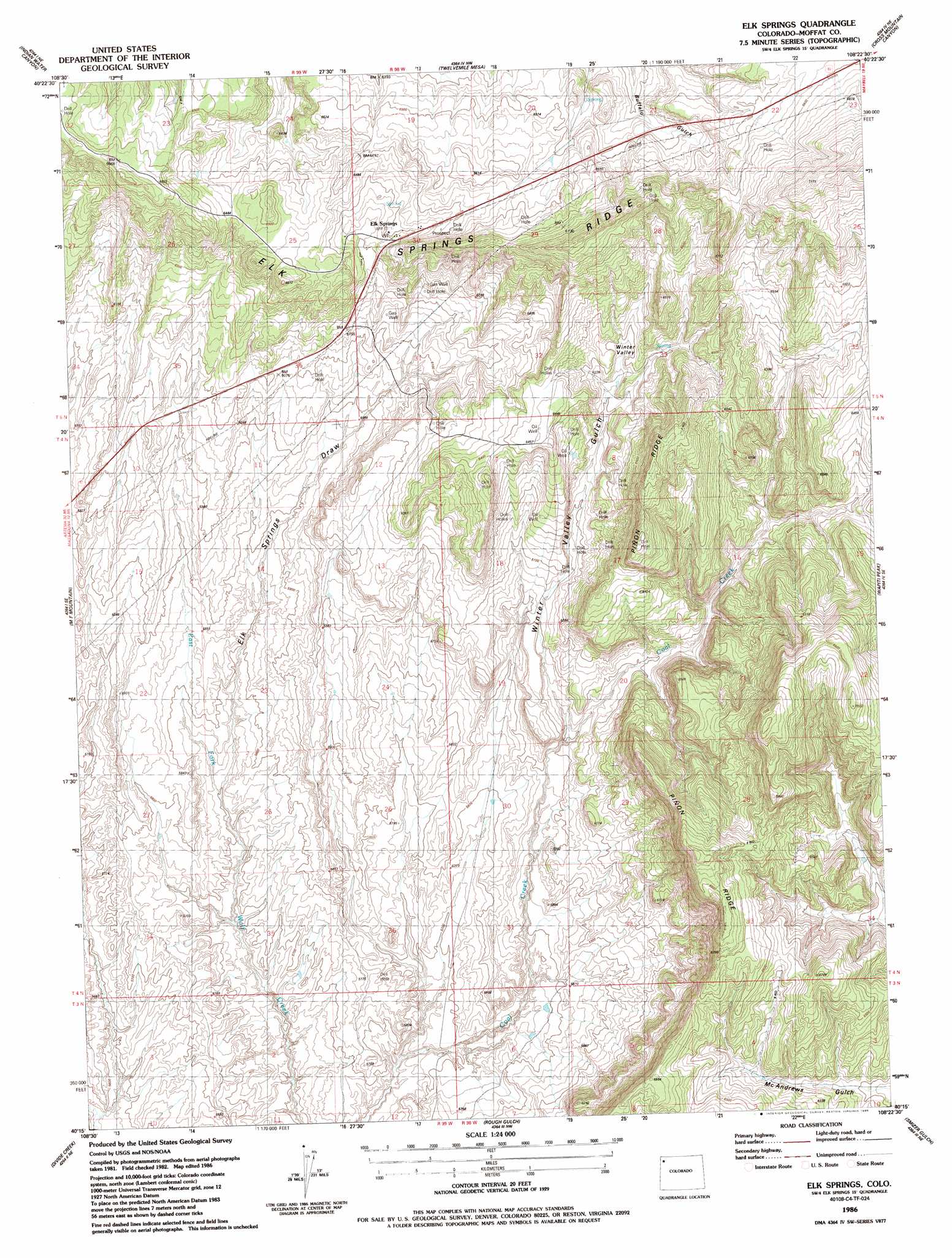
USGS Topo Quad 40108c4 - 1:24,000 scale
| Topo Map Name: | Elk Springs |
| USGS Topo Quad ID: | 40108c4 |
| Print Size: | ca. 21 1/4" wide x 27" high |
| Southeast Coordinates: | 40.25° N latitude / 108.375° W longitude |
| Map Center Coordinates: | 40.3125° N latitude / 108.4375° W longitude |
| U.S. State: | CO |
| Filename: | o40108c4.jpg |
| Download Map JPG Image: | Elk Springs topo map 1:24,000 scale |
| Map Type: | Topographic |
| Topo Series: | 7.5´ |
| Map Scale: | 1:24,000 |
| Source of Map Images: | United States Geological Survey (USGS) |
| Alternate Map Versions: |
Elk Springs CO 1986, updated 1986 Download PDF Buy paper map Elk Springs CO 2010 Download PDF Buy paper map Elk Springs CO 2013 Download PDF Buy paper map Elk Springs CO 2016 Download PDF Buy paper map |
1:24,000 Topo Quads surrounding Elk Springs
Greystone |
Limestone Hill |
Lone Mountain |
Peck Mesa |
Sunbeam |
Haystack Rock |
Indian Water Canyon |
Twelvemile Mesa |
Cross Mountain Canyon |
Cedar Knob |
Skull Creek |
M F Mountain |
Elk Springs |
Wapiti Peak |
Citadel Plateau |
Cactus Reservoir |
Divide Creek |
Rough Gulch |
Smizer Gulch |
Indian Valley |
Gillam Draw |
Calamity Ridge |
Barcus Creek |
Barcus Creek Se |
White River City |
> Back to 40108a1 at 1:100,000 scale
> Back to 40108a1 at 1:250,000 scale
> Back to U.S. Topo Maps home
Elk Springs topo map: Gazetteer
Elk Springs: Populated Places
Elk Springs elevation 1944m 6377′Elk Springs: Valleys
Elk Springs Draw elevation 1768m 5800′Winter Valley elevation 1914m 6279′
Winter Valley Gulch elevation 1798m 5898′
Elk Springs digital topo map on disk
Buy this Elk Springs topo map showing relief, roads, GPS coordinates and other geographical features, as a high-resolution digital map file on DVD: