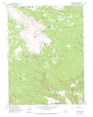
Marsh Peak Topo Map Utah
To zoom in, hover over the map of Marsh Peak
USGS Topo Quad 40109f7 - 1:24,000 scale
| Topo Map Name: | Marsh Peak |
| USGS Topo Quad ID: | 40109f7 |
| Print Size: | ca. 21 1/4" wide x 27" high |
| Southeast Coordinates: | 40.625° N latitude / 109.75° W longitude |
| Map Center Coordinates: | 40.6875° N latitude / 109.8125° W longitude |
| U.S. State: | UT |
| Filename: | o40109f7.jpg |
| Download Map JPG Image: | Marsh Peak topo map 1:24,000 scale |
| Map Type: | Topographic |
| Topo Series: | 7.5´ |
| Map Scale: | 1:24,000 |
| Source of Map Images: | United States Geological Survey (USGS) |
| Alternate Map Versions: |
Marsh Peak UT 1965, updated 1967 Download PDF Buy paper map Marsh Peak UT 1996, updated 1999 Download PDF Buy paper map Marsh Peak UT 2011 Download PDF Buy paper map Marsh Peak UT 2014 Download PDF Buy paper map |
| FStopo: | US Forest Service topo Marsh Peak is available: Download FStopo PDF Download FStopo TIF |
1:24,000 Topo Quads surrounding Marsh Peak
> Back to 40109e1 at 1:100,000 scale
> Back to 40108a1 at 1:250,000 scale
> Back to U.S. Topo Maps home
Marsh Peak topo map: Gazetteer
Marsh Peak: Dams
Ashley Twin Lakes Dam elevation 3160m 10367′Lower Goose Lake Dam elevation 3125m 10252′
Upper Goose Lake Dam elevation 3131m 10272′
Marsh Peak: Flats
Big Park elevation 3118m 10229′Corral Park elevation 3085m 10121′
Horseshoe Park elevation 3050m 10006′
Horseshoe Park elevation 2947m 9668′
Macks Park elevation 3174m 10413′
Marsh Peak: Lakes
Chimney Rock Lake elevation 3212m 10538′Fish Lake elevation 3275m 10744′
Goose Lakes elevation 3126m 10255′
Hopper Lakes elevation 3161m 10370′
Marsh Peak: Reservoirs
Ashley Twin Lakes elevation 3160m 10367′Lower Goose Lake elevation 3125m 10252′
Upper Goose Lake elevation 3131m 10272′
Marsh Peak: Ridges
Sink Ridge elevation 2624m 8608′Marsh Peak: Springs
Green Spring elevation 2578m 8458′Marsh Peak: Streams
Split Creek elevation 2581m 8467′Marsh Peak: Summits
Marsh Peak elevation 3718m 12198′Marsh Peak digital topo map on disk
Buy this Marsh Peak topo map showing relief, roads, GPS coordinates and other geographical features, as a high-resolution digital map file on DVD:


