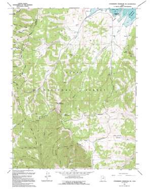
Strawberry Reservoir Sw Topo Map Utah
To zoom in, hover over the map of Strawberry Reservoir Sw
USGS Topo Quad 40111a2 - 1:24,000 scale
| Topo Map Name: | Strawberry Reservoir Sw |
| USGS Topo Quad ID: | 40111a2 |
| Print Size: | ca. 21 1/4" wide x 27" high |
| Southeast Coordinates: | 40° N latitude / 111.125° W longitude |
| Map Center Coordinates: | 40.0625° N latitude / 111.1875° W longitude |
| U.S. State: | UT |
| Filename: | o40111a2.jpg |
| Download Map JPG Image: | Strawberry Reservoir Sw topo map 1:24,000 scale |
| Map Type: | Topographic |
| Topo Series: | 7.5´ |
| Map Scale: | 1:24,000 |
| Source of Map Images: | United States Geological Survey (USGS) |
| Alternate Map Versions: |
Strawberry Reservoir SW UT 1966, updated 1969 Download PDF Buy paper map Strawberry Reservoir SW UT 1966, updated 1980 Download PDF Buy paper map Strawberry Reservoir SW UT 1966, updated 1987 Download PDF Buy paper map Strawberry Reservoir SW UT 1994, updated 1994 Download PDF Buy paper map Strawberry Reservoir SW UT 1998, updated 2002 Download PDF Buy paper map Strawberry Reservoir SW UT 2011 Download PDF Buy paper map Strawberry Reservoir SW UT 2014 Download PDF Buy paper map |
| FStopo: | US Forest Service topo Strawberry Reservoir SW is available: Download FStopo PDF Download FStopo TIF |
1:24,000 Topo Quads surrounding Strawberry Reservoir Sw
> Back to 40111a1 at 1:100,000 scale
> Back to 40110a1 at 1:250,000 scale
> Back to U.S. Topo Maps home
Strawberry Reservoir Sw topo map: Gazetteer
Strawberry Reservoir Sw: Capes
Chaplain Point elevation 2585m 8480′Renegade Point elevation 2336m 7664′
Strawberry Reservoir Sw: Ridges
Partridge Ridge elevation 2398m 7867′Strawberry Reservoir Sw: Springs
Big Spring elevation 2453m 8047′Indian Spring elevation 2447m 8028′
Trail Spring elevation 2457m 8061′
Strawberry Reservoir Sw: Streams
Crooked Creek elevation 2329m 7641′Squaw Creek elevation 2316m 7598′
Streeper Creek elevation 2342m 7683′
Strawberry Reservoir Sw: Summits
Baldy Mountain elevation 2874m 9429′Little Baldy Mountain elevation 2807m 9209′
Strawberry Reservoir Sw: Valleys
Chicken Hollow elevation 2295m 7529′Corral Canyon elevation 2113m 6932′
Left Fork Timber Canyon elevation 2185m 7168′
Right Fork Timber Canyon elevation 2205m 7234′
Trail Hollow elevation 2351m 7713′
Strawberry Reservoir Sw digital topo map on disk
Buy this Strawberry Reservoir Sw topo map showing relief, roads, GPS coordinates and other geographical features, as a high-resolution digital map file on DVD:


