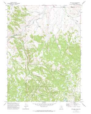
Red Hole Topo Map Utah
To zoom in, hover over the map of Red Hole
USGS Topo Quad 40111h1 - 1:24,000 scale
| Topo Map Name: | Red Hole |
| USGS Topo Quad ID: | 40111h1 |
| Print Size: | ca. 21 1/4" wide x 27" high |
| Southeast Coordinates: | 40.875° N latitude / 111° W longitude |
| Map Center Coordinates: | 40.9375° N latitude / 111.0625° W longitude |
| U.S. States: | UT, WY |
| Filename: | o40111h1.jpg |
| Download Map JPG Image: | Red Hole topo map 1:24,000 scale |
| Map Type: | Topographic |
| Topo Series: | 7.5´ |
| Map Scale: | 1:24,000 |
| Source of Map Images: | United States Geological Survey (USGS) |
| Alternate Map Versions: |
Red Hole UT 1972, updated 1974 Download PDF Buy paper map Red Hole UT 1998, updated 2001 Download PDF Buy paper map Red Hole UT 1998, updated 2001 Download PDF Buy paper map Red Hole UT 2011 Download PDF Buy paper map Red Hole UT 2014 Download PDF Buy paper map |
| FStopo: | US Forest Service topo Red Hole is available: Download FStopo PDF Download FStopo TIF |
1:24,000 Topo Quads surrounding Red Hole
> Back to 40111e1 at 1:100,000 scale
> Back to 40110a1 at 1:250,000 scale
> Back to U.S. Topo Maps home
Red Hole topo map: Gazetteer
Red Hole: Dams
Beaver Meadow Dam elevation 2456m 8057′Boyer Lake Dam elevation 2936m 9632′
Joyce Dam elevation 2824m 9265′
Red Hole: Lakes
Joyce Lake elevation 2885m 9465′Red Hole: Reservoirs
Beaver Meadow Reservoir elevation 2456m 8057′Boyer Lake elevation 2936m 9632′
Joyce Reservoir elevation 2824m 9265′
Red Hole: Streams
East Fork Chalk Creek elevation 2043m 6702′Middle Fork East Fork Chalk Creek elevation 2166m 7106′
Mill Fork elevation 2258m 7408′
Red Hole: Valleys
Red Hole elevation 2238m 7342′Red Hole digital topo map on disk
Buy this Red Hole topo map showing relief, roads, GPS coordinates and other geographical features, as a high-resolution digital map file on DVD:


