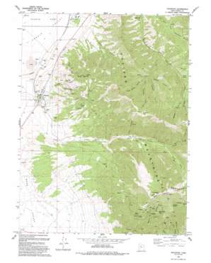
Stockton Topo Map Utah
To zoom in, hover over the map of Stockton
USGS Topo Quad 40112d3 - 1:24,000 scale
| Topo Map Name: | Stockton |
| USGS Topo Quad ID: | 40112d3 |
| Print Size: | ca. 21 1/4" wide x 27" high |
| Southeast Coordinates: | 40.375° N latitude / 112.25° W longitude |
| Map Center Coordinates: | 40.4375° N latitude / 112.3125° W longitude |
| U.S. State: | UT |
| Filename: | o40112d3.jpg |
| Download Map JPG Image: | Stockton topo map 1:24,000 scale |
| Map Type: | Topographic |
| Topo Series: | 7.5´ |
| Map Scale: | 1:24,000 |
| Source of Map Images: | United States Geological Survey (USGS) |
| Alternate Map Versions: |
Stockton UT 1980, updated 1980 Download PDF Buy paper map Stockton UT 1980, updated 1984 Download PDF Buy paper map Stockton UT 2011 Download PDF Buy paper map Stockton UT 2014 Download PDF Buy paper map |
1:24,000 Topo Quads surrounding Stockton
> Back to 40112a1 at 1:100,000 scale
> Back to 40112a1 at 1:250,000 scale
> Back to U.S. Topo Maps home
Stockton topo map: Gazetteer
Stockton: Flats
Beartrap Flat elevation 1916m 6286′Stockton: Gaps
Commodore Pass elevation 2825m 9268′Edwards Pass elevation 2511m 8238′
Stockton: Mines
Ben Harrison Mine elevation 1956m 6417′Calumet Mine elevation 1826m 5990′
Hidden Treasure Mine elevation 2489m 8166′
Honerine Mine elevation 1740m 5708′
Queen of the Hills Mine elevation 2563m 8408′
Tip Top Mine elevation 1965m 6446′
Stockton: Populated Places
Bauer elevation 1503m 4931′Stockton elevation 1560m 5118′
Tad Park elevation 1519m 4983′
Stockton: Ridges
Lynch Ridge elevation 2303m 7555′Stockton Bar elevation 1558m 5111′
Stockton: Springs
Buckhorn Spring elevation 2802m 9192′Stockton: Streams
North Fork Soldier Creek elevation 2233m 7326′South Fork Soldier Creek elevation 2049m 6722′
Stockton: Summits
Bald Mountain elevation 2930m 9612′Sharp Mountain elevation 3041m 9977′
Shoofly Hill elevation 2825m 9268′
Tooele Peak elevation 2216m 7270′
Stockton: Valleys
Balsam Hollow elevation 2072m 6797′Ben Harrison Gulch elevation 1587m 5206′
Bevans Gulch elevation 1940m 6364′
Edwards Fork elevation 1941m 6368′
Kelsey Canyon elevation 1913m 6276′
Left Hand Fork Kelsey Canyon elevation 1935m 6348′
Left Hand Stump Fork elevation 2022m 6633′
Pipe Hollow elevation 1829m 6000′
Right Hand Dry Fork elevation 1956m 6417′
Right Hand Fork elevation 1789m 5869′
Right Hand Fork Kelsey Canyon elevation 1935m 6348′
Right Hand Stump Fork elevation 2022m 6633′
Silcox Canyon elevation 1587m 5206′
Southport Gulch elevation 1571m 5154′
Water Fork Settlement Canyon elevation 1938m 6358′
Stockton digital topo map on disk
Buy this Stockton topo map showing relief, roads, GPS coordinates and other geographical features, as a high-resolution digital map file on DVD:


