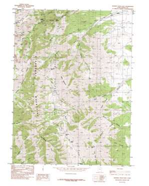
Deseret Peak East Topo Map Utah
To zoom in, hover over the map of Deseret Peak East
USGS Topo Quad 40112d5 - 1:24,000 scale
| Topo Map Name: | Deseret Peak East |
| USGS Topo Quad ID: | 40112d5 |
| Print Size: | ca. 21 1/4" wide x 27" high |
| Southeast Coordinates: | 40.375° N latitude / 112.5° W longitude |
| Map Center Coordinates: | 40.4375° N latitude / 112.5625° W longitude |
| U.S. State: | UT |
| Filename: | o40112d5.jpg |
| Download Map JPG Image: | Deseret Peak East topo map 1:24,000 scale |
| Map Type: | Topographic |
| Topo Series: | 7.5´ |
| Map Scale: | 1:24,000 |
| Source of Map Images: | United States Geological Survey (USGS) |
| Alternate Map Versions: |
Deseret Peak East UT 1985, updated 1985 Download PDF Buy paper map Deseret Peak East UT 1998, updated 2001 Download PDF Buy paper map Deseret Peak East UT 2011 Download PDF Buy paper map Deseret Peak East UT 2014 Download PDF Buy paper map |
| FStopo: | US Forest Service topo Deseret Peak East is available: Download FStopo PDF Download FStopo TIF |
1:24,000 Topo Quads surrounding Deseret Peak East
> Back to 40112a1 at 1:100,000 scale
> Back to 40112a1 at 1:250,000 scale
> Back to U.S. Topo Maps home
Deseret Peak East topo map: Gazetteer
Deseret Peak East: Gaps
Box Elder Pass elevation 2560m 8398′Hickman Pass elevation 2393m 7851′
Lower Narrows elevation 2167m 7109′
Upper Narrows elevation 2227m 7306′
Deseret Peak East: Lakes
North Willow Lake elevation 2671m 8763′Deseret Peak East: Mines
Silver Drum Mine elevation 2175m 7135′Deseret Peak East: Springs
Buck Spring elevation 2319m 7608′Chokecherry Spring elevation 2016m 6614′
Cold Spring elevation 2402m 7880′
Mud Spring elevation 2190m 7185′
Stradley Spring elevation 2234m 7329′
Deseret Peak East: Streams
Abbots Fork elevation 1942m 6371′Bear Fork elevation 1989m 6525′
Cedar Fork elevation 1760m 5774′
Dry Fork elevation 1936m 6351′
Dry Lake Fork elevation 2319m 7608′
Martin Fork elevation 1804m 5918′
Pockets Fork elevation 2332m 7650′
White Pine Fork elevation 1868m 6128′
Deseret Peak East: Summits
Bald Mountain elevation 2789m 9150′Little Bald Mountain elevation 2342m 7683′
Slate Rock Peak elevation 2539m 8330′
Vickory Mountain elevation 3130m 10269′
Deseret Peak East: Valleys
Box Elder Canyon elevation 1732m 5682′Cow Hollow elevation 1755m 5757′
Faraday Hollow elevation 1915m 6282′
Mill Fork elevation 2322m 7618′
Mining Fork of South Willow Canyon elevation 1933m 6341′
Morgan Canyon elevation 2064m 6771′
Morgan Hollow elevation 1815m 5954′
Deseret Peak East digital topo map on disk
Buy this Deseret Peak East topo map showing relief, roads, GPS coordinates and other geographical features, as a high-resolution digital map file on DVD:


