Puddle Valley Knolls Topo Map Utah
To zoom in, hover over the map of Puddle Valley Knolls
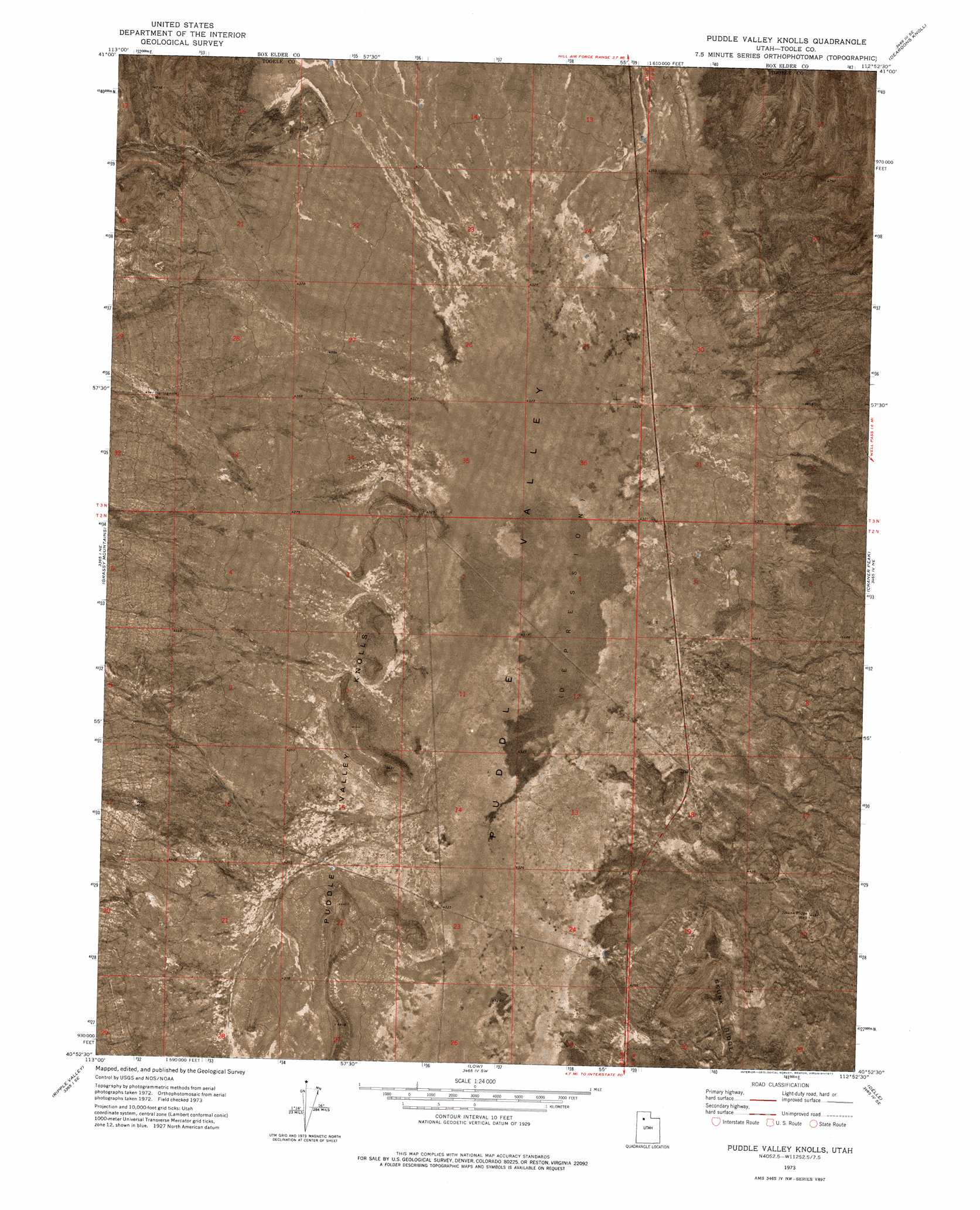
USGS Topo Quad 40112h8 - 1:24,000 scale
| Topo Map Name: | Puddle Valley Knolls |
| USGS Topo Quad ID: | 40112h8 |
| Print Size: | ca. 21 1/4" wide x 27" high |
| Southeast Coordinates: | 40.875° N latitude / 112.875° W longitude |
| Map Center Coordinates: | 40.9375° N latitude / 112.9375° W longitude |
| U.S. State: | UT |
| Filename: | p40112h8.jpg |
| Download Map JPG Image: | Puddle Valley Knolls topo map 1:24,000 scale |
| Map Type: | Orthophoto |
| Topo Series: | 7.5´ |
| Map Scale: | 1:24,000 |
| Source of Map Images: | United States Geological Survey (USGS) |
| Alternate Map Versions: |
Puddle Valley Knolls UT 1973, updated 1977 Download PDF Buy paper map Puddle Valley Knolls UT 2011 Download PDF Buy paper map Puddle Valley Knolls UT 2014 Download PDF Buy paper map |
1:24,000 Topo Quads surrounding Puddle Valley Knolls
Round Mountain Nw |
Hogup Ridge South |
Strongs Knob |
Lakeside |
Carrington Island Nw |
Round Mountain Sw |
Round Mountain |
Sally Mountain |
Deardens Knoll |
Carrington Island Sw |
Finger Ridge |
Grassy Mountains |
Puddle Valley Knolls |
Craner Peak |
Badger Island Nw |
Grayback Hills |
Ripple Valley |
Low |
Delle |
Poverty Point |
Aragonite Nw |
Aragonite |
Hastings Pass |
Hastings Pass Ne |
Timpie |
> Back to 40112e1 at 1:100,000 scale
> Back to 40112a1 at 1:250,000 scale
> Back to U.S. Topo Maps home
Puddle Valley Knolls topo map: Gazetteer
Puddle Valley Knolls: Summits
Puddle Valley Knolls elevation 1327m 4353′Puddle Valley Knolls: Wells
Bertagnole Well elevation 1386m 4547′Government Well elevation 1376m 4514′
Skunk Ridge Well elevation 1372m 4501′
Puddle Valley Knolls digital topo map on disk
Buy this Puddle Valley Knolls topo map showing relief, roads, GPS coordinates and other geographical features, as a high-resolution digital map file on DVD: