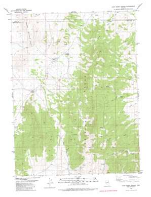
Chin Creek Spring Topo Map Nevada
To zoom in, hover over the map of Chin Creek Spring
USGS Topo Quad 40114a4 - 1:24,000 scale
| Topo Map Name: | Chin Creek Spring |
| USGS Topo Quad ID: | 40114a4 |
| Print Size: | ca. 21 1/4" wide x 27" high |
| Southeast Coordinates: | 40° N latitude / 114.375° W longitude |
| Map Center Coordinates: | 40.0625° N latitude / 114.4375° W longitude |
| U.S. State: | NV |
| Filename: | o40114a4.jpg |
| Download Map JPG Image: | Chin Creek Spring topo map 1:24,000 scale |
| Map Type: | Topographic |
| Topo Series: | 7.5´ |
| Map Scale: | 1:24,000 |
| Source of Map Images: | United States Geological Survey (USGS) |
| Alternate Map Versions: |
Chin Creek Spring NV 1982, updated 1982 Download PDF Buy paper map Chin Creek Spring NV 2012 Download PDF Buy paper map Chin Creek Spring NV 2014 Download PDF Buy paper map |
1:24,000 Topo Quads surrounding Chin Creek Spring
> Back to 40114a1 at 1:100,000 scale
> Back to 40114a1 at 1:250,000 scale
> Back to U.S. Topo Maps home
Chin Creek Spring topo map: Gazetteer
Chin Creek Spring: Springs
Basin Spring elevation 2210m 7250′Chin Creek Spring elevation 2094m 6870′
Chokecherry Spring elevation 2244m 7362′
Cress Spring elevation 2092m 6863′
Flat Spring elevation 1991m 6532′
Lookout Springs elevation 2038m 6686′
North Cottonwood Spring elevation 2263m 7424′
Perkins Spring elevation 2020m 6627′
Stockade Spring elevation 2026m 6646′
Stockade Springs elevation 2089m 6853′
West Cottonwood Spring elevation 2352m 7716′
Willow Patch Spring elevation 2188m 7178′
Chin Creek Spring digital topo map on disk
Buy this Chin Creek Spring topo map showing relief, roads, GPS coordinates and other geographical features, as a high-resolution digital map file on DVD:


