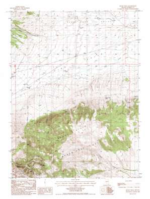
Rocky Hills Topo Map Nevada
To zoom in, hover over the map of Rocky Hills
USGS Topo Quad 40116a4 - 1:24,000 scale
| Topo Map Name: | Rocky Hills |
| USGS Topo Quad ID: | 40116a4 |
| Print Size: | ca. 21 1/4" wide x 27" high |
| Southeast Coordinates: | 40° N latitude / 116.375° W longitude |
| Map Center Coordinates: | 40.0625° N latitude / 116.4375° W longitude |
| U.S. State: | NV |
| Filename: | o40116a4.jpg |
| Download Map JPG Image: | Rocky Hills topo map 1:24,000 scale |
| Map Type: | Topographic |
| Topo Series: | 7.5´ |
| Map Scale: | 1:24,000 |
| Source of Map Images: | United States Geological Survey (USGS) |
| Alternate Map Versions: |
Rocky Hills NV 1986, updated 1986 Download PDF Buy paper map Rocky Hills NV 2012 Download PDF Buy paper map Rocky Hills NV 2014 Download PDF Buy paper map |
1:24,000 Topo Quads surrounding Rocky Hills
> Back to 40116a1 at 1:100,000 scale
> Back to 40116a1 at 1:250,000 scale
> Back to U.S. Topo Maps home
Rocky Hills topo map: Gazetteer
Rocky Hills: Springs
Big Spring elevation 2114m 6935′Cadet Trough Spring elevation 1849m 6066′
Cottonwood Spring elevation 2171m 7122′
Geyser Canyon Spring elevation 2002m 6568′
Rocky Hill Spring elevation 2005m 6578′
Trail Spring elevation 2081m 6827′
White Rock Spring elevation 2182m 7158′
Willow Spring elevation 1978m 6489′
Rocky Hills: Streams
Dry Creek elevation 1702m 5583′Grouse Creek elevation 1810m 5938′
Willow Creek elevation 1714m 5623′
Rocky Hills: Summits
Rocky Hills elevation 2232m 7322′Twin Peaks elevation 2288m 7506′
Rocky Hills: Valleys
Coal Canyon elevation 1863m 6112′Horse Canyon elevation 1797m 5895′
Trail Canyon elevation 2018m 6620′
Rocky Hills: Wells
Baumann Well elevation 1767m 5797′Rocky Hills digital topo map on disk
Buy this Rocky Hills topo map showing relief, roads, GPS coordinates and other geographical features, as a high-resolution digital map file on DVD:


