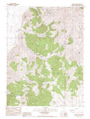
Needle Peak Topo Map Nevada
To zoom in, hover over the map of Needle Peak
USGS Topo Quad 40117c5 - 1:24,000 scale
| Topo Map Name: | Needle Peak |
| USGS Topo Quad ID: | 40117c5 |
| Print Size: | ca. 21 1/4" wide x 27" high |
| Southeast Coordinates: | 40.25° N latitude / 117.5° W longitude |
| Map Center Coordinates: | 40.3125° N latitude / 117.5625° W longitude |
| U.S. State: | NV |
| Filename: | o40117c5.jpg |
| Download Map JPG Image: | Needle Peak topo map 1:24,000 scale |
| Map Type: | Topographic |
| Topo Series: | 7.5´ |
| Map Scale: | 1:24,000 |
| Source of Map Images: | United States Geological Survey (USGS) |
| Alternate Map Versions: |
Needle Peak NV 1990, updated 1990 Download PDF Buy paper map Needle Peak NV 2011 Download PDF Buy paper map Needle Peak NV 2014 Download PDF Buy paper map |
1:24,000 Topo Quads surrounding Needle Peak
> Back to 40117a1 at 1:100,000 scale
> Back to 40116a1 at 1:250,000 scale
> Back to U.S. Topo Maps home
Needle Peak topo map: Gazetteer
Needle Peak: Basins
Little Miller Basin elevation 1655m 5429′Miller Basin elevation 1707m 5600′
Needle Peak: Gaps
Golconda Pass elevation 1784m 5853′Needle Peak: Mines
Badger Mine elevation 1988m 6522′Camera Mine elevation 1949m 6394′
Eureka Mine elevation 1773m 5816′
Last Chance Mine elevation 1880m 6167′
Mount Tobin Mine elevation 1957m 6420′
Needle Peak Mine elevation 2247m 7372′
North Fork Mine elevation 1824m 5984′
Tip Top Mine elevation 2222m 7290′
Needle Peak: Springs
Lower Cottonwood Spring elevation 1893m 6210′Mud Spring elevation 1788m 5866′
Upper Cottonwood Spring elevation 1923m 6309′
Needle Peak: Streams
North Fork Bushee Creek elevation 1673m 5488′Needle Peak: Summits
Needle Peak elevation 2332m 7650′Rim Peak elevation 1872m 6141′
Needle Peak: Valleys
Golconda Canyon elevation 1486m 4875′South Fork Golconda Canyon elevation 1760m 5774′
Needle Peak digital topo map on disk
Buy this Needle Peak topo map showing relief, roads, GPS coordinates and other geographical features, as a high-resolution digital map file on DVD:


