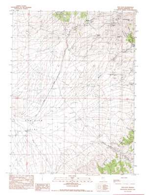
Dun Glen Topo Map Nevada
To zoom in, hover over the map of Dun Glen
USGS Topo Quad 40117f8 - 1:24,000 scale
| Topo Map Name: | Dun Glen |
| USGS Topo Quad ID: | 40117f8 |
| Print Size: | ca. 21 1/4" wide x 27" high |
| Southeast Coordinates: | 40.625° N latitude / 117.875° W longitude |
| Map Center Coordinates: | 40.6875° N latitude / 117.9375° W longitude |
| U.S. State: | NV |
| Filename: | o40117f8.jpg |
| Download Map JPG Image: | Dun Glen topo map 1:24,000 scale |
| Map Type: | Topographic |
| Topo Series: | 7.5´ |
| Map Scale: | 1:24,000 |
| Source of Map Images: | United States Geological Survey (USGS) |
| Alternate Map Versions: |
Dun Glen NV 1990, updated 1990 Download PDF Buy paper map Dun Glen NV 2011 Download PDF Buy paper map Dun Glen NV 2014 Download PDF Buy paper map |
1:24,000 Topo Quads surrounding Dun Glen
> Back to 40117e1 at 1:100,000 scale
> Back to 40116a1 at 1:250,000 scale
> Back to U.S. Topo Maps home
Dun Glen topo map: Gazetteer
Dun Glen: Mines
Barber Canyon Mine elevation 1647m 5403′Black Hole Mine elevation 1985m 6512′
Dun Glen Mine elevation 1633m 5357′
Monroe Mine elevation 1908m 6259′
Rockhill Canyon Mines elevation 1524m 5000′
Tallulah Mine elevation 1605m 5265′
Twin Dome Mine elevation 1534m 5032′
White Bear Mine elevation 1912m 6272′
Yosemite Mine elevation 1605m 5265′
Dun Glen: Populated Places
Dun Glen (historical) elevation 1605m 5265′Dun Glen: Post Offices
Dun Glen Post Office (historical) elevation 1605m 5265′Tiptop Post Office (historical) elevation 1815m 5954′
Dun Glen: Springs
Butcher Spring elevation 1672m 5485′Potato Patch Spring elevation 1838m 6030′
Dun Glen: Streams
Barbers Creek elevation 1343m 4406′Rock Hill Creek elevation 1446m 4744′
Willow Creek elevation 1329m 4360′
Dun Glen: Summits
Auld Lang Syne Peak elevation 2248m 7375′Dun Glen: Valleys
Barber Canyon elevation 1404m 4606′Dun Glen Canyon elevation 1454m 4770′
Emigrant Canyon elevation 1710m 5610′
Hidden Canyon elevation 1742m 5715′
Jackrabbit Canyon elevation 1719m 5639′
McCann Canyon elevation 1694m 5557′
Orofino Canyon elevation 1469m 4819′
Rockhill Canyon elevation 1462m 4796′
South Fork Emigrant Canyon elevation 1781m 5843′
Dun Glen digital topo map on disk
Buy this Dun Glen topo map showing relief, roads, GPS coordinates and other geographical features, as a high-resolution digital map file on DVD:


