Goldrun Creek Topo Map Nevada
To zoom in, hover over the map of Goldrun Creek
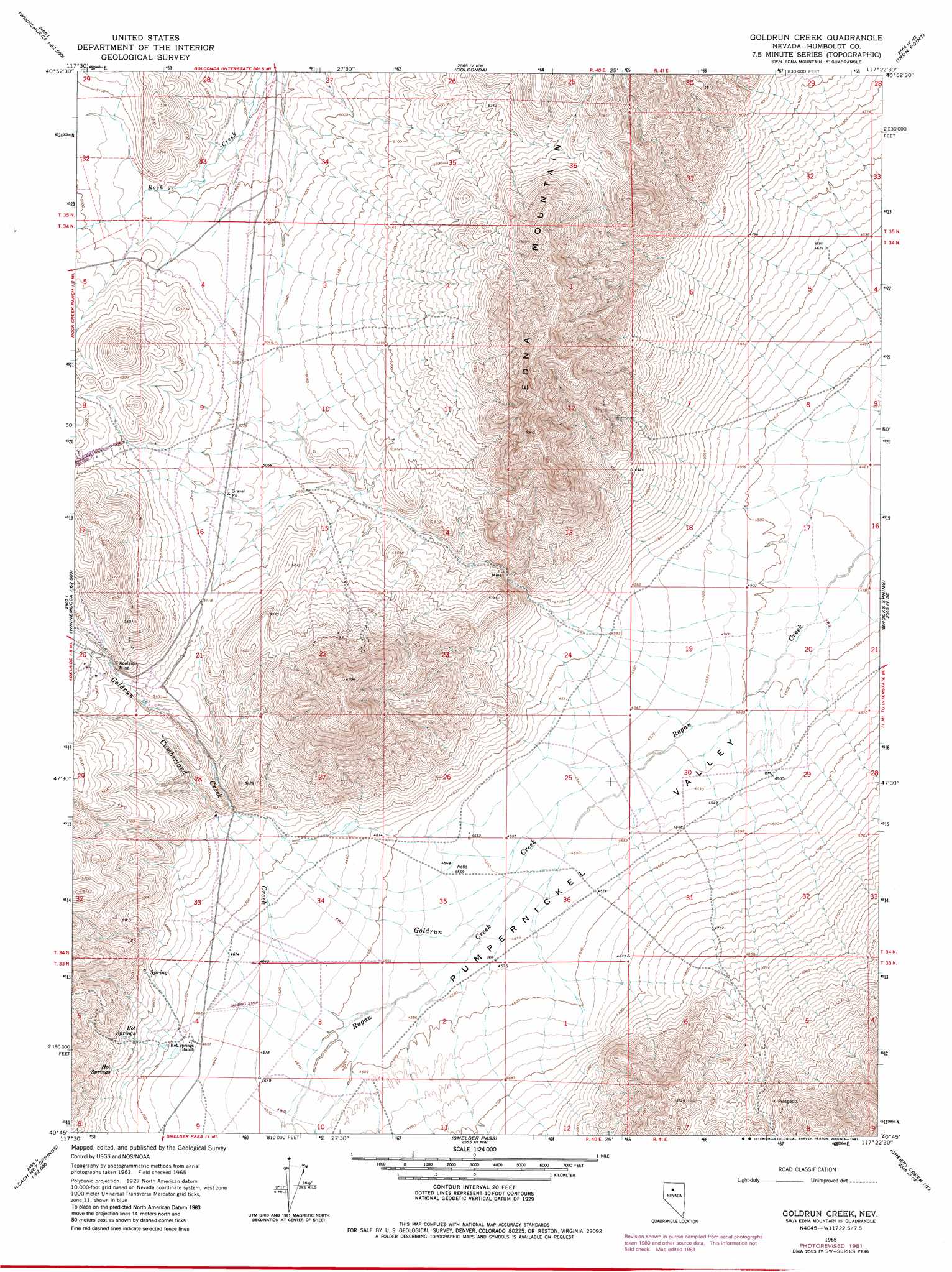
USGS Topo Quad 40117g4 - 1:24,000 scale
| Topo Map Name: | Goldrun Creek |
| USGS Topo Quad ID: | 40117g4 |
| Print Size: | ca. 21 1/4" wide x 27" high |
| Southeast Coordinates: | 40.75° N latitude / 117.375° W longitude |
| Map Center Coordinates: | 40.8125° N latitude / 117.4375° W longitude |
| U.S. State: | NV |
| Filename: | o40117g4.jpg |
| Download Map JPG Image: | Goldrun Creek topo map 1:24,000 scale |
| Map Type: | Topographic |
| Topo Series: | 7.5´ |
| Map Scale: | 1:24,000 |
| Source of Map Images: | United States Geological Survey (USGS) |
| Alternate Map Versions: |
Goldrun Creek NV 1965, updated 1967 Download PDF Buy paper map Goldrun Creek NV 1965, updated 1981 Download PDF Buy paper map Goldrun Creek NV 2011 Download PDF Buy paper map Goldrun Creek NV 2014 Download PDF Buy paper map |
1:24,000 Topo Quads surrounding Goldrun Creek
Weso |
Golconda Butte |
Anderson Gardens |
Red House Flat West |
Red House Flat East |
Winnemucca East |
Pole Creek |
Golconda |
Iron Point |
Knight |
Sonoma Canyon |
Adelaide |
Goldrun Creek |
Brooks Spring |
Valmy |
Clear Creek Ranch |
Sheep Ranch Canyon |
Smelser Pass |
China Mountain Ne |
North Peak |
Leach Hot Springs |
Panther Canyon |
China Mountain |
China Mountain Se |
Antler Peak |
> Back to 40117e1 at 1:100,000 scale
> Back to 40116a1 at 1:250,000 scale
> Back to U.S. Topo Maps home
Goldrun Creek topo map: Gazetteer
Goldrun Creek: Mines
Adelaide Mine elevation 1587m 5206′Goldrun Creek: Streams
Cumberland Creek elevation 1574m 5164′Goldrun Creek elevation 1379m 4524′
Robber Creek elevation 1554m 5098′
Goldrun Creek: Summits
Edna Mountain elevation 1890m 6200′Goldrun Creek: Valleys
Bill Majors Canyon elevation 1483m 4865′Goldrun Creek digital topo map on disk
Buy this Goldrun Creek topo map showing relief, roads, GPS coordinates and other geographical features, as a high-resolution digital map file on DVD: