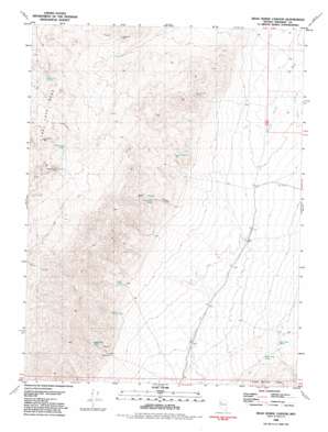
Dead Horse Canyon Topo Map Nevada
To zoom in, hover over the map of Dead Horse Canyon
USGS Topo Quad 40118e8 - 1:24,000 scale
| Topo Map Name: | Dead Horse Canyon |
| USGS Topo Quad ID: | 40118e8 |
| Print Size: | ca. 21 1/4" wide x 27" high |
| Southeast Coordinates: | 40.5° N latitude / 118.875° W longitude |
| Map Center Coordinates: | 40.5625° N latitude / 118.9375° W longitude |
| U.S. State: | NV |
| Filename: | o40118e8.jpg |
| Download Map JPG Image: | Dead Horse Canyon topo map 1:24,000 scale |
| Map Type: | Topographic |
| Topo Series: | 7.5´ |
| Map Scale: | 1:24,000 |
| Source of Map Images: | United States Geological Survey (USGS) |
| Alternate Map Versions: |
Dead Horse Canyon NV 1981, updated 1981 Download PDF Buy paper map Dead Horse Canyon NV 2011 Download PDF Buy paper map Dead Horse Canyon NV 2015 Download PDF Buy paper map |
1:24,000 Topo Quads surrounding Dead Horse Canyon
> Back to 40118e1 at 1:100,000 scale
> Back to 40118a1 at 1:250,000 scale
> Back to U.S. Topo Maps home
Dead Horse Canyon topo map: Gazetteer
Dead Horse Canyon: Mines
Hilltop Mine elevation 1907m 6256′Windy Hill Mine elevation 1737m 5698′
Dead Horse Canyon: Pillars
Elephant Head Rock elevation 1906m 6253′Dead Horse Canyon: Ranges
Hannan Range elevation 2109m 6919′Dead Horse Canyon: Springs
Dead Horse Spring elevation 1693m 5554′Elephant Head Spring elevation 1850m 6069′
Five Troughs Springs elevation 1669m 5475′
Hanna Spring elevation 1616m 5301′
Last Chance Spring elevation 1590m 5216′
Nera Spring elevation 1564m 5131′
Rattlesnake Spring elevation 1661m 5449′
Scorpion Spring elevation 1675m 5495′
Sheep Head Spring elevation 1843m 6046′
Tarantula Spring elevation 1692m 5551′
Turtle Rock Spring elevation 1752m 5748′
White Horse Spring elevation 1564m 5131′
Dead Horse Canyon: Streams
Willow Creek elevation 1467m 4812′Dead Horse Canyon: Valleys
Dead Horse Canyon elevation 1632m 5354′Rockhill Canyon elevation 1580m 5183′
Dead Horse Canyon digital topo map on disk
Buy this Dead Horse Canyon topo map showing relief, roads, GPS coordinates and other geographical features, as a high-resolution digital map file on DVD:


