Eagle Rock Spring Topo Map Nevada
To zoom in, hover over the map of Eagle Rock Spring
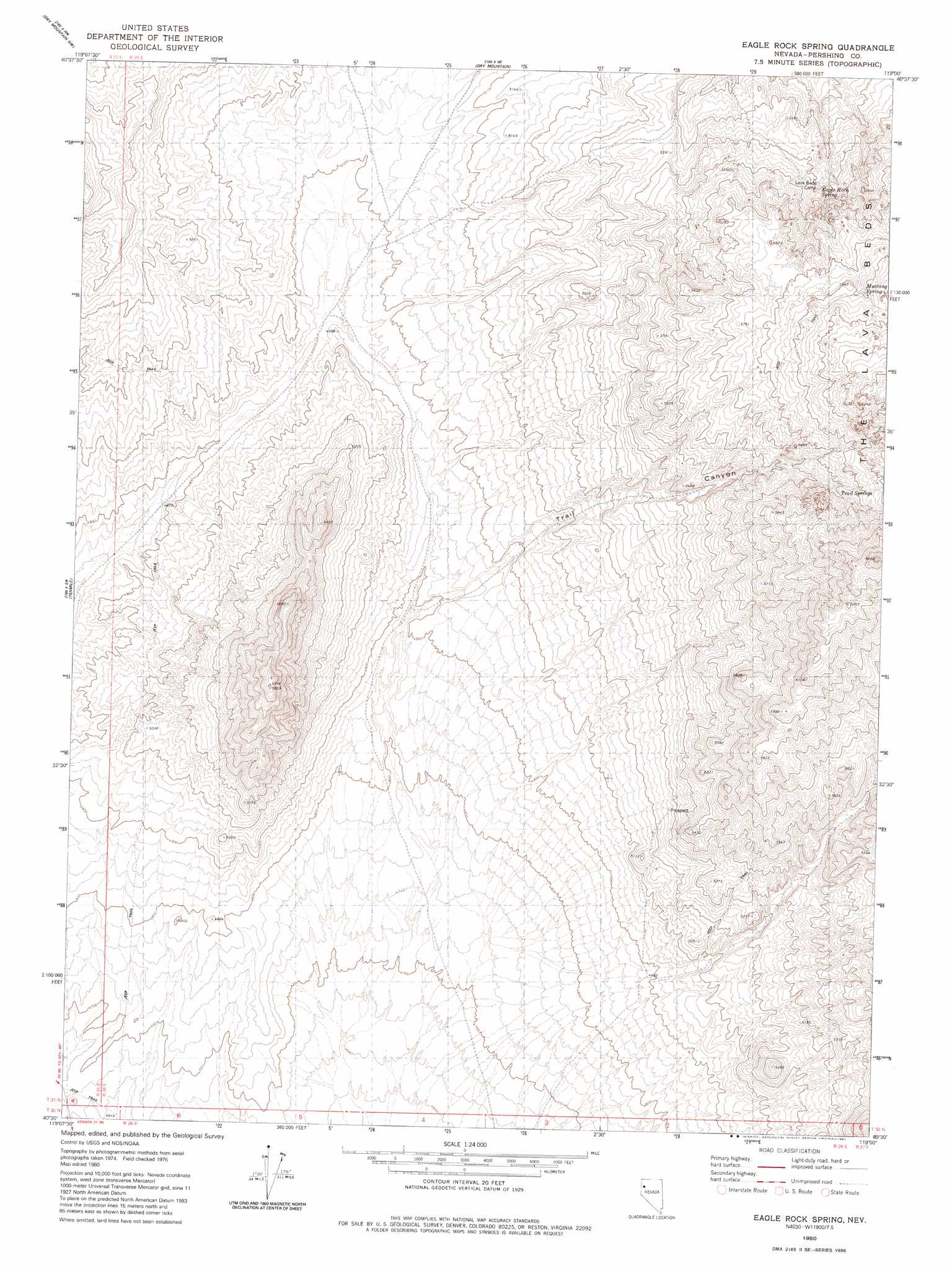
USGS Topo Quad 40119e1 - 1:24,000 scale
| Topo Map Name: | Eagle Rock Spring |
| USGS Topo Quad ID: | 40119e1 |
| Print Size: | ca. 21 1/4" wide x 27" high |
| Southeast Coordinates: | 40.5° N latitude / 119° W longitude |
| Map Center Coordinates: | 40.5625° N latitude / 119.0625° W longitude |
| U.S. State: | NV |
| Filename: | o40119e1.jpg |
| Download Map JPG Image: | Eagle Rock Spring topo map 1:24,000 scale |
| Map Type: | Topographic |
| Topo Series: | 7.5´ |
| Map Scale: | 1:24,000 |
| Source of Map Images: | United States Geological Survey (USGS) |
| Alternate Map Versions: |
Eagle Rock Spring NV 1980, updated 1980 Download PDF Buy paper map Eagle Rock Spring NV 2011 Download PDF Buy paper map Eagle Rock Spring NV 2014 Download PDF Buy paper map |
1:24,000 Topo Quads surrounding Eagle Rock Spring
Hualapai Flat South |
Trego |
Trego Hot Springs |
Cholona |
Rabbithole |
Gerlach |
Dry Mountain Nw |
Dry Mountain |
Sheep Spring |
Dead Horse Canyon Ne |
Empire |
Tenmile |
Eagle Rock Spring |
Dead Horse Canyon |
Juniper Canyon |
Kumiva Peak |
Betty Creek |
Twin Buttes Well |
Seven Troughs Nw |
Seven Troughs |
Purgatory Peak |
Jayhawk Well |
Juniper Pass |
Blue Wing Flat North |
Seven Troughs Se |
> Back to 40119e1 at 1:100,000 scale
> Back to 40118a1 at 1:250,000 scale
> Back to U.S. Topo Maps home
Eagle Rock Spring topo map: Gazetteer
Eagle Rock Spring: Lavas
The Lava Beds elevation 1909m 6263′Eagle Rock Spring: Springs
Eagle Rock Spring elevation 1645m 5396′Mustang Spring elevation 1792m 5879′
Trail Springs elevation 1782m 5846′
Eagle Rock Spring: Valleys
Trail Canyon elevation 1513m 4963′Eagle Rock Spring digital topo map on disk
Buy this Eagle Rock Spring topo map showing relief, roads, GPS coordinates and other geographical features, as a high-resolution digital map file on DVD: