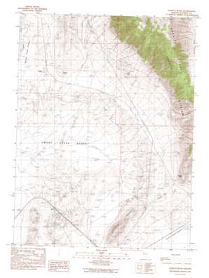
Godeys Rock Topo Map Nevada
To zoom in, hover over the map of Godeys Rock
USGS Topo Quad 40119f4 - 1:24,000 scale
| Topo Map Name: | Godeys Rock |
| USGS Topo Quad ID: | 40119f4 |
| Print Size: | ca. 21 1/4" wide x 27" high |
| Southeast Coordinates: | 40.625° N latitude / 119.375° W longitude |
| Map Center Coordinates: | 40.6875° N latitude / 119.4375° W longitude |
| U.S. State: | NV |
| Filename: | o40119f4.jpg |
| Download Map JPG Image: | Godeys Rock topo map 1:24,000 scale |
| Map Type: | Topographic |
| Topo Series: | 7.5´ |
| Map Scale: | 1:24,000 |
| Source of Map Images: | United States Geological Survey (USGS) |
| Alternate Map Versions: |
Godeys Rock NV 1990, updated 1990 Download PDF Buy paper map Godeys Rock NV 2011 Download PDF Buy paper map Godeys Rock NV 2014 Download PDF Buy paper map |
1:24,000 Topo Quads surrounding Godeys Rock
> Back to 40119e1 at 1:100,000 scale
> Back to 40118a1 at 1:250,000 scale
> Back to U.S. Topo Maps home
Godeys Rock topo map: Gazetteer
Godeys Rock: Gaps
Godeys Gap elevation 1234m 4048′Godeys Rock: Mines
Water Tunnels Mine elevation 1465m 4806′Godeys Rock: Populated Places
Deep Hole elevation 1197m 3927′Phil elevation 1193m 3914′
Godeys Rock: Post Offices
Deep Hole Post Office elevation 1197m 3927′Godeys Rock: Ranges
Granite Range elevation 2365m 7759′Godeys Rock: Ridges
Bloody Point elevation 1193m 3914′Godeys Rock: Springs
Deep Hole Spring elevation 1199m 3933′Gerlach Spring elevation 1504m 4934′
Godeys Rock: Summits
Godeys Rock elevation 1407m 4616′Granite Point elevation 1468m 4816′
Godeys Rock digital topo map on disk
Buy this Godeys Rock topo map showing relief, roads, GPS coordinates and other geographical features, as a high-resolution digital map file on DVD:


