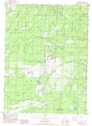
Whitmore Topo Map California
To zoom in, hover over the map of Whitmore
USGS Topo Quad 40121f8 - 1:24,000 scale
| Topo Map Name: | Whitmore |
| USGS Topo Quad ID: | 40121f8 |
| Print Size: | ca. 21 1/4" wide x 27" high |
| Southeast Coordinates: | 40.625° N latitude / 121.875° W longitude |
| Map Center Coordinates: | 40.6875° N latitude / 121.9375° W longitude |
| U.S. State: | CA |
| Filename: | o40121f8.jpg |
| Download Map JPG Image: | Whitmore topo map 1:24,000 scale |
| Map Type: | Topographic |
| Topo Series: | 7.5´ |
| Map Scale: | 1:24,000 |
| Source of Map Images: | United States Geological Survey (USGS) |
| Alternate Map Versions: |
Whitmore CA 1986, updated 1986 Download PDF Buy paper map Whitmore CA 1986, updated 1986 Download PDF Buy paper map Whitmore CA 2012 Download PDF Buy paper map Whitmore CA 2015 Download PDF Buy paper map |
1:24,000 Topo Quads surrounding Whitmore
> Back to 40121e1 at 1:100,000 scale
> Back to 40120a1 at 1:250,000 scale
> Back to U.S. Topo Maps home
Whitmore topo map: Gazetteer
Whitmore: Basins
Lawrence Basin elevation 431m 1414′Little Valley elevation 632m 2073′
Whitmore: Dams
2 S Ranch 3220 Dam elevation 687m 2253′Junge Number 2 2225 Dam elevation 759m 2490′
Junge Number 3 2225-002 Dam elevation 686m 2250′
Whitmore: Populated Places
Fern elevation 842m 2762′Whitmore elevation 685m 2247′
Whitmore: Ridges
Bullskin Ridge elevation 721m 2365′Whitmore: Streams
Glendenning Creek elevation 592m 1942′Silver Creek elevation 1006m 3300′
Slaughter Pole Creek elevation 344m 1128′
Wildcat Creek elevation 625m 2050′
Whitmore: Summits
Gold Hill elevation 588m 1929′Whitmore: Valleys
Coal Gulch elevation 477m 1564′Whitmore digital topo map on disk
Buy this Whitmore topo map showing relief, roads, GPS coordinates and other geographical features, as a high-resolution digital map file on DVD:


