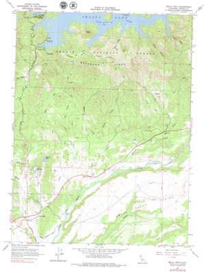
Bella Vista Topo Map California
To zoom in, hover over the map of Bella Vista
USGS Topo Quad 40122f2 - 1:24,000 scale
| Topo Map Name: | Bella Vista |
| USGS Topo Quad ID: | 40122f2 |
| Print Size: | ca. 21 1/4" wide x 27" high |
| Southeast Coordinates: | 40.625° N latitude / 122.125° W longitude |
| Map Center Coordinates: | 40.6875° N latitude / 122.1875° W longitude |
| U.S. State: | CA |
| Filename: | o40122f2.jpg |
| Download Map JPG Image: | Bella Vista topo map 1:24,000 scale |
| Map Type: | Topographic |
| Topo Series: | 7.5´ |
| Map Scale: | 1:24,000 |
| Source of Map Images: | United States Geological Survey (USGS) |
| Alternate Map Versions: |
Bella Vista CA 1965, updated 1966 Download PDF Buy paper map Bella Vista CA 1965, updated 1966 Download PDF Buy paper map Bella Vista CA 1965, updated 1979 Download PDF Buy paper map Bella Vista CA 1998, updated 2003 Download PDF Buy paper map Bella Vista CA 1998, updated 2003 Download PDF Buy paper map Bella Vista CA 2012 Download PDF Buy paper map Bella Vista CA 2015 Download PDF Buy paper map |
| FStopo: | US Forest Service topo Bella Vista is available: Download FStopo PDF Download FStopo TIF |
1:24,000 Topo Quads surrounding Bella Vista
> Back to 40122e1 at 1:100,000 scale
> Back to 40122a1 at 1:250,000 scale
> Back to U.S. Topo Maps home
Bella Vista topo map: Gazetteer
Bella Vista: Bays
Silverthorn Bay elevation 326m 1069′Bella Vista: Capes
Buck Point elevation 491m 1610′Bella Vista: Plains
Swede Creek Plains elevation 253m 830′Bella Vista: Populated Places
Bella Vista elevation 171m 561′Calkins (historical) elevation 185m 606′
Fitzpatrick (historical) elevation 306m 1003′
Frazier Corners elevation 163m 534′
Sherman elevation 275m 902′
Bella Vista: Reservoirs
Elks Lake elevation 194m 636′Mirror Lake elevation 202m 662′
Bella Vista: Ridges
Backbone Ridge elevation 476m 1561′Bella Vista: Streams
Bacon Creek elevation 186m 610′Clikapudi Creek elevation 333m 1092′
East Dry Creek elevation 204m 669′
Jim Creek elevation 203m 666′
Painter Creek elevation 325m 1066′
Salt Creek elevation 170m 557′
Silverhorn Creek elevation 326m 1069′
Willow Creek elevation 189m 620′
Woodman Creek elevation 180m 590′
Yank Creek elevation 160m 524′
Bella Vista: Summits
Woodman Hill elevation 270m 885′Bella Vista: Valleys
Bear Valley elevation 273m 895′Blue Canyon elevation 325m 1066′
Dark Canyon elevation 325m 1066′
Jones Valley elevation 301m 987′
Little Valley elevation 168m 551′
Stinking Canyon elevation 171m 561′
Wildcat Canyon elevation 325m 1066′
Bella Vista digital topo map on disk
Buy this Bella Vista topo map showing relief, roads, GPS coordinates and other geographical features, as a high-resolution digital map file on DVD:


