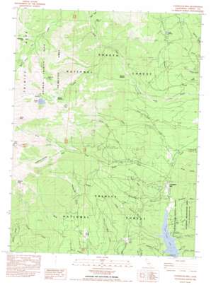
Covington Mill Topo Map California
To zoom in, hover over the map of Covington Mill
USGS Topo Quad 40122h7 - 1:24,000 scale
| Topo Map Name: | Covington Mill |
| USGS Topo Quad ID: | 40122h7 |
| Print Size: | ca. 21 1/4" wide x 27" high |
| Southeast Coordinates: | 40.875° N latitude / 122.75° W longitude |
| Map Center Coordinates: | 40.9375° N latitude / 122.8125° W longitude |
| U.S. State: | CA |
| Filename: | o40122h7.jpg |
| Download Map JPG Image: | Covington Mill topo map 1:24,000 scale |
| Map Type: | Topographic |
| Topo Series: | 7.5´ |
| Map Scale: | 1:24,000 |
| Source of Map Images: | United States Geological Survey (USGS) |
| Alternate Map Versions: |
Covington Mill CA 1982, updated 1982 Download PDF Buy paper map Covington Mill CA 1998, updated 2003 Download PDF Buy paper map Covington Mill CA 2012 Download PDF Buy paper map Covington Mill CA 2015 Download PDF Buy paper map |
| FStopo: | US Forest Service topo Covington Mill is available: Download FStopo PDF Download FStopo TIF |
1:24,000 Topo Quads surrounding Covington Mill
> Back to 40122e1 at 1:100,000 scale
> Back to 40122a1 at 1:250,000 scale
> Back to U.S. Topo Maps home
Covington Mill topo map: Gazetteer
Covington Mill: Basins
Bear Basin elevation 1968m 6456′Elderberry Duff elevation 2093m 6866′
Covington Mill: Canals
Coffee Ditch elevation 1007m 3303′Diener Ditch elevation 1020m 3346′
Covington Mill: Flats
Bowerman Meadows elevation 1650m 5413′Echo Flat elevation 882m 2893′
Gibson Meadow elevation 1738m 5702′
Preacher Meadow elevation 1199m 3933′
Covington Mill: Gaps
Bee Tree Gap elevation 1255m 4117′Covington Mill: Lakes
Gibson Lake elevation 1937m 6354′Granite Lake elevation 1816m 5958′
Lake Eleanor elevation 1498m 4914′
Seven Up Lake elevation 2137m 7011′
Twin Lakes elevation 1547m 5075′
Covington Mill: Mines
Diener Mine elevation 886m 2906′Pansy Mine elevation 1072m 3517′
Covington Mill: Ridges
Buck Ridge elevation 997m 3270′Covington Mill: Springs
Big Spring elevation 1045m 3428′Covington Mill: Streams
Cement Creek elevation 940m 3083′Davis Creek elevation 795m 2608′
East Fork Stuart Fork elevation 725m 2378′
Granite Creek elevation 1299m 4261′
Hobel Creek elevation 786m 2578′
North Fork Davis Creek elevation 946m 3103′
Sheep Corral Creek elevation 913m 2995′
Steer Creek elevation 1443m 4734′
Strope Creek elevation 723m 2372′
Covington Mill: Summits
Gibson Peak elevation 2547m 8356′Granite Peak elevation 2425m 7956′
Seven Up Peak elevation 2351m 7713′
Covington Mill: Valleys
Billys Gulch elevation 805m 2641′Bowerman Gulch elevation 744m 2440′
Granite Canyon elevation 1305m 4281′
Greenhorn Gulch elevation 762m 2500′
Hayward Gulch elevation 723m 2372′
Long Canyon elevation 1520m 4986′
Mosquito Gulch elevation 784m 2572′
Pole Gulch elevation 724m 2375′
Smith Gulch elevation 724m 2375′
Snowslide Gulch elevation 886m 2906′
Stiller Gulch elevation 723m 2372′
Taylor Gulch elevation 862m 2828′
Unity Gulch elevation 731m 2398′
Covington Mill digital topo map on disk
Buy this Covington Mill topo map showing relief, roads, GPS coordinates and other geographical features, as a high-resolution digital map file on DVD:


