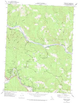
Myers Flat Topo Map California
To zoom in, hover over the map of Myers Flat
USGS Topo Quad 40123c7 - 1:24,000 scale
| Topo Map Name: | Myers Flat |
| USGS Topo Quad ID: | 40123c7 |
| Print Size: | ca. 21 1/4" wide x 27" high |
| Southeast Coordinates: | 40.25° N latitude / 123.75° W longitude |
| Map Center Coordinates: | 40.3125° N latitude / 123.8125° W longitude |
| U.S. State: | CA |
| Filename: | o40123c7.jpg |
| Download Map JPG Image: | Myers Flat topo map 1:24,000 scale |
| Map Type: | Topographic |
| Topo Series: | 7.5´ |
| Map Scale: | 1:24,000 |
| Source of Map Images: | United States Geological Survey (USGS) |
| Alternate Map Versions: |
Myers Flat CA 1969, updated 1974 Download PDF Buy paper map Myers Flat CA 2012 Download PDF Buy paper map Myers Flat CA 2015 Download PDF Buy paper map |
1:24,000 Topo Quads surrounding Myers Flat
> Back to 40123a1 at 1:100,000 scale
> Back to 40122a1 at 1:250,000 scale
> Back to U.S. Topo Maps home
Myers Flat topo map: Gazetteer
Myers Flat: Areas
Kenteschobe elevation 72m 236′Myers Flat: Bends
Devils Elbow elevation 61m 200′Myers Flat: Capes
Eagle Point elevation 160m 524′Myers Flat: Cliffs
Thompson Bluff elevation 111m 364′Myers Flat: Flats
Thompson Field elevation 51m 167′Myers Flat: Populated Places
Fruitland elevation 306m 1003′McCann elevation 53m 173′
Myers Flat elevation 62m 203′
Smith (historical) elevation 65m 213′
Tanoak (historical) elevation 63m 206′
Whitlow elevation 55m 180′
Myers Flat: Streams
Beatty Creek elevation 48m 157′Bell Creek elevation 52m 170′
Bloyd Creek elevation 60m 196′
Bluff Creek elevation 46m 150′
Bridge Creek elevation 50m 164′
Cameron Creek elevation 48m 157′
Devils Elbow Creek elevation 48m 157′
Dry Creek elevation 60m 196′
Elk Creek elevation 49m 160′
Kapple Creek elevation 48m 157′
McCann Creek elevation 47m 154′
Sequoia Creek elevation 84m 275′
Sonoma Creek elevation 49m 160′
Thompson Creek elevation 48m 157′
Myers Flat: Summits
Brushy Mountain elevation 1071m 3513′Elk Mountain elevation 785m 2575′
The Peaks elevation 950m 3116′
Myers Flat: Trails
Hidden Springs Trail elevation 210m 688′Myers Flat: Woods
Blair Grove elevation 94m 308′Bolling Grove elevation 130m 426′
Edson Grove elevation 62m 203′
Elk Prairie elevation 350m 1148′
Felton Grove elevation 107m 351′
Gravers Grove elevation 68m 223′
Hickey Grove elevation 133m 436′
Honor Grove elevation 151m 495′
Jensen Grove elevation 112m 367′
Lansdale Grove elevation 149m 488′
Massachusetts Grove elevation 76m 249′
Nelson Grove elevation 79m 259′
Pioneers Grove elevation 121m 396′
Robinson Grove elevation 63m 206′
Van Sicklen Grove elevation 130m 426′
Myers Flat digital topo map on disk
Buy this Myers Flat topo map showing relief, roads, GPS coordinates and other geographical features, as a high-resolution digital map file on DVD:


