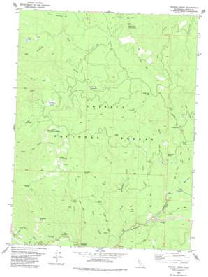
Naufus Creek Topo Map California
To zoom in, hover over the map of Naufus Creek
USGS Topo Quad 40123d3 - 1:24,000 scale
| Topo Map Name: | Naufus Creek |
| USGS Topo Quad ID: | 40123d3 |
| Print Size: | ca. 21 1/4" wide x 27" high |
| Southeast Coordinates: | 40.375° N latitude / 123.25° W longitude |
| Map Center Coordinates: | 40.4375° N latitude / 123.3125° W longitude |
| U.S. State: | CA |
| Filename: | o40123d3.jpg |
| Download Map JPG Image: | Naufus Creek topo map 1:24,000 scale |
| Map Type: | Topographic |
| Topo Series: | 7.5´ |
| Map Scale: | 1:24,000 |
| Source of Map Images: | United States Geological Survey (USGS) |
| Alternate Map Versions: |
Naufus Creek CA 1979, updated 1980 Download PDF Buy paper map Naufus Creek CA 1998, updated 2003 Download PDF Buy paper map Naufus Creek CA 2012 Download PDF Buy paper map Naufus Creek CA 2015 Download PDF Buy paper map |
| FStopo: | US Forest Service topo Naufus Creek is available: Download FStopo PDF Download FStopo TIF |
1:24,000 Topo Quads surrounding Naufus Creek
> Back to 40123a1 at 1:100,000 scale
> Back to 40122a1 at 1:250,000 scale
> Back to U.S. Topo Maps home
Naufus Creek topo map: Gazetteer
Naufus Creek: Bends
Devils Kitchen elevation 1097m 3599′Naufus Creek: Capes
Kingfisher Point elevation 1273m 4176′Naufus Creek: Flats
Bear Wallow Meadow elevation 1290m 4232′Big Flat of Naufus elevation 1193m 3914′
Grouse Prairie elevation 1568m 5144′
Little Bear Wallow Meadow elevation 1362m 4468′
Naufus Creek: Lakes
Friend Lake elevation 972m 3188′Naufus Creek: Plains
Petes Pasture elevation 1167m 3828′Naufus Creek: Populated Places
Friend Place elevation 997m 3270′Naufus Creek: Springs
Buck Spring elevation 1131m 3710′Cedar Spring elevation 1248m 4094′
Glade Camp Spring elevation 1072m 3517′
Mud Spring elevation 1243m 4078′
Pine Root Spring elevation 1379m 4524′
V Spring elevation 1361m 4465′
Naufus Creek: Streams
Cave Creek elevation 685m 2247′Clear Creek elevation 655m 2148′
Glade Creek elevation 904m 2965′
Naufus Creek elevation 834m 2736′
North Post Creek elevation 870m 2854′
North Rattlesnake Creek elevation 775m 2542′
Post Creek elevation 822m 2696′
Swift Creek elevation 647m 2122′
Naufus Creek: Summits
Bald Peaks of Plummer elevation 1293m 4242′Copper Hill elevation 1490m 4888′
Irish Mountain elevation 1466m 4809′
Naufus Creek: Trails
Marble Caves Trail elevation 1197m 3927′Tule Divide Trail elevation 1406m 4612′
Naufus Creek: Valleys
Basin Gulch elevation 899m 2949′Flume Gulch elevation 757m 2483′
Granite Canyon elevation 665m 2181′
Long Gulch elevation 1030m 3379′
Naufus Creek digital topo map on disk
Buy this Naufus Creek topo map showing relief, roads, GPS coordinates and other geographical features, as a high-resolution digital map file on DVD:


