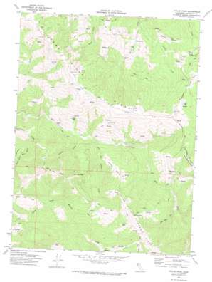
Taylor Peak Topo Map California
To zoom in, hover over the map of Taylor Peak
USGS Topo Quad 40124d2 - 1:24,000 scale
| Topo Map Name: | Taylor Peak |
| USGS Topo Quad ID: | 40124d2 |
| Print Size: | ca. 21 1/4" wide x 27" high |
| Southeast Coordinates: | 40.375° N latitude / 124.125° W longitude |
| Map Center Coordinates: | 40.4375° N latitude / 124.1875° W longitude |
| U.S. State: | CA |
| Filename: | o40124d2.jpg |
| Download Map JPG Image: | Taylor Peak topo map 1:24,000 scale |
| Map Type: | Topographic |
| Topo Series: | 7.5´ |
| Map Scale: | 1:24,000 |
| Source of Map Images: | United States Geological Survey (USGS) |
| Alternate Map Versions: |
Taylor Peak CA 1969, updated 1974 Download PDF Buy paper map Taylor Peak CA 2012 Download PDF Buy paper map Taylor Peak CA 2015 Download PDF Buy paper map |
1:24,000 Topo Quads surrounding Taylor Peak
> Back to 40124a1 at 1:100,000 scale
> Back to 40124a1 at 1:250,000 scale
> Back to U.S. Topo Maps home
Taylor Peak topo map: Gazetteer
Taylor Peak: Flats
Moores Prairie elevation 294m 964′Peaked Prairie elevation 505m 1656′
Sidehill Prairie elevation 252m 826′
Upper Peaked Prairie elevation 732m 2401′
Taylor Peak: Lakes
Kinman Pond elevation 719m 2358′Taylor Peak: Populated Places
Hacketsville elevation 74m 242′Taylor Peak: Ridges
Long Ridge elevation 786m 2578′Pig Toe elevation 878m 2880′
Taylor Peak: Streams
Antone Creek elevation 139m 456′Atwell Creek elevation 70m 229′
Beer Bottle Creek elevation 286m 938′
Peaked Creek elevation 151m 495′
Taylor Peak: Summits
East Point elevation 797m 2614′Rainbow Peak elevation 1026m 3366′
Taylor Peak elevation 1030m 3379′
Taylor Peak digital topo map on disk
Buy this Taylor Peak topo map showing relief, roads, GPS coordinates and other geographical features, as a high-resolution digital map file on DVD:


