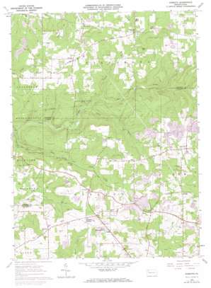
Kossuth Topo Map Pennsylvania
To zoom in, hover over the map of Kossuth
USGS Topo Quad 41079c5 - 1:24,000 scale
| Topo Map Name: | Kossuth |
| USGS Topo Quad ID: | 41079c5 |
| Print Size: | ca. 21 1/4" wide x 27" high |
| Southeast Coordinates: | 41.25° N latitude / 79.5° W longitude |
| Map Center Coordinates: | 41.3125° N latitude / 79.5625° W longitude |
| U.S. State: | PA |
| Filename: | o41079c5.jpg |
| Download Map JPG Image: | Kossuth topo map 1:24,000 scale |
| Map Type: | Topographic |
| Topo Series: | 7.5´ |
| Map Scale: | 1:24,000 |
| Source of Map Images: | United States Geological Survey (USGS) |
| Alternate Map Versions: |
Kossuth PA 1963, updated 1965 Download PDF Buy paper map Kossuth PA 1963, updated 1973 Download PDF Buy paper map Kossuth PA 1963, updated 1973 Download PDF Buy paper map Kossuth PA 2010 Download PDF Buy paper map Kossuth PA 2013 Download PDF Buy paper map Kossuth PA 2016 Download PDF Buy paper map |
1:24,000 Topo Quads surrounding Kossuth
> Back to 41079a1 at 1:100,000 scale
> Back to 41078a1 at 1:250,000 scale
> Back to U.S. Topo Maps home
Kossuth topo map: Gazetteer
Kossuth: Lakes
Marie-Eileen Lake elevation 442m 1450′Kossuth: Populated Places
Billing elevation 425m 1394′Elmo elevation 447m 1466′
Fern elevation 492m 1614′
Fertigs elevation 465m 1525′
Kline elevation 425m 1394′
Kossuth elevation 474m 1555′
Nineveh elevation 469m 1538′
Pine City elevation 453m 1486′
Sawtown elevation 470m 1541′
Kossuth: Post Offices
Fertigs Post Office (historical) elevation 465m 1525′Kossuth: Streams
Cogley Run elevation 378m 1240′Little East Sandy Creek elevation 368m 1207′
Prairie Run elevation 394m 1292′
Kossuth: Summits
Cream Hill elevation 502m 1646′Pine Hill elevation 515m 1689′
Kossuth digital topo map on disk
Buy this Kossuth topo map showing relief, roads, GPS coordinates and other geographical features, as a high-resolution digital map file on DVD:


