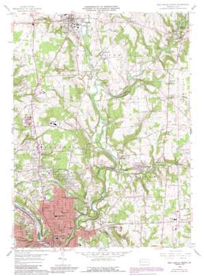
New Castle North Topo Map Pennsylvania
To zoom in, hover over the map of New Castle North
USGS Topo Quad 41080a3 - 1:24,000 scale
| Topo Map Name: | New Castle North |
| USGS Topo Quad ID: | 41080a3 |
| Print Size: | ca. 21 1/4" wide x 27" high |
| Southeast Coordinates: | 41° N latitude / 80.25° W longitude |
| Map Center Coordinates: | 41.0625° N latitude / 80.3125° W longitude |
| U.S. State: | PA |
| Filename: | o41080a3.jpg |
| Download Map JPG Image: | New Castle North topo map 1:24,000 scale |
| Map Type: | Topographic |
| Topo Series: | 7.5´ |
| Map Scale: | 1:24,000 |
| Source of Map Images: | United States Geological Survey (USGS) |
| Alternate Map Versions: |
New Castle North PA 1958, updated 1960 Download PDF Buy paper map New Castle North PA 1958, updated 1969 Download PDF Buy paper map New Castle North PA 1958, updated 1972 Download PDF Buy paper map New Castle North PA 1958, updated 1990 Download PDF Buy paper map New Castle North PA 1958, updated 1990 Download PDF Buy paper map New Castle North PA 2010 Download PDF Buy paper map New Castle North PA 2013 Download PDF Buy paper map New Castle North PA 2016 Download PDF Buy paper map |
1:24,000 Topo Quads surrounding New Castle North
> Back to 41080a1 at 1:100,000 scale
> Back to 41080a1 at 1:250,000 scale
> Back to U.S. Topo Maps home
New Castle North topo map: Gazetteer
New Castle North: Airports
Klockner Airport elevation 334m 1095′McFarland Airport elevation 370m 1213′
New Castle North: Dams
Lakewood Dam elevation 292m 958′Pa-22 Dam elevation 295m 967′
New Castle North: Parks
Lakewood Park elevation 290m 951′State Game Lands Number 178 elevation 298m 977′
Sunton Park elevation 325m 1066′
New Castle North: Populated Places
Clover elevation 341m 1118′Coaltown elevation 334m 1095′
Cottage Grove elevation 287m 941′
Eastbrook elevation 303m 994′
Fayette elevation 329m 1079′
Grahms elevation 283m 928′
Mayville elevation 286m 938′
McCaslin elevation 382m 1253′
Neshannock Falls elevation 312m 1023′
New Castle elevation 260m 853′
New Wilmington elevation 319m 1046′
Painter Hill elevation 292m 958′
Sunset Valley elevation 286m 938′
Volant elevation 315m 1033′
Walmo elevation 317m 1040′
West New Castle elevation 288m 944′
New Castle North: Streams
Hottenbaugh Run elevation 284m 931′Little Neshannock Creek elevation 282m 925′
Potter Run elevation 313m 1026′
New Castle North: Summits
Briar Hill elevation 283m 928′New Castle North digital topo map on disk
Buy this New Castle North topo map showing relief, roads, GPS coordinates and other geographical features, as a high-resolution digital map file on DVD:


