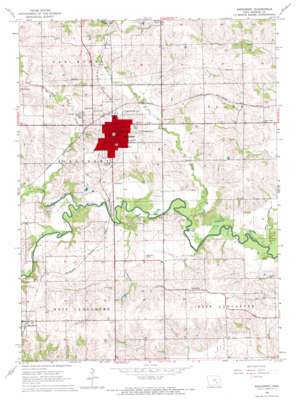
Sigourney Topo Map Iowa
To zoom in, hover over the map of Sigourney
USGS Topo Quad 41092c2 - 1:24,000 scale
| Topo Map Name: | Sigourney |
| USGS Topo Quad ID: | 41092c2 |
| Print Size: | ca. 21 1/4" wide x 27" high |
| Southeast Coordinates: | 41.25° N latitude / 92.125° W longitude |
| Map Center Coordinates: | 41.3125° N latitude / 92.1875° W longitude |
| U.S. State: | IA |
| Filename: | o41092c2.jpg |
| Download Map JPG Image: | Sigourney topo map 1:24,000 scale |
| Map Type: | Topographic |
| Topo Series: | 7.5´ |
| Map Scale: | 1:24,000 |
| Source of Map Images: | United States Geological Survey (USGS) |
| Alternate Map Versions: |
Sigourney IA 1965, updated 1966 Download PDF Buy paper map Sigourney IA 2010 Download PDF Buy paper map Sigourney IA 2013 Download PDF Buy paper map Sigourney IA 2015 Download PDF Buy paper map |
1:24,000 Topo Quads surrounding Sigourney
> Back to 41092a1 at 1:100,000 scale
> Back to 41092a1 at 1:250,000 scale
> Back to U.S. Topo Maps home
Sigourney topo map: Gazetteer
Sigourney: Airports
Sigourney Iowa Airport elevation 210m 688′Sigourney: Parks
Achilles Rogers Historical Marker elevation 229m 751′First Court In Iowa Historical Marker elevation 242m 793′
Legion Park elevation 235m 770′
Spanish-American War Veterans Historical Marker elevation 242m 793′
Sigourney: Populated Places
Hayesville elevation 243m 797′Lanscaster elevation 236m 774′
Marysville (historical) elevation 222m 728′
Sigourney elevation 242m 793′
Sigourney: Post Offices
Hayesville Post Office elevation 243m 797′Lancaster Post Office (historical) elevation 236m 774′
Sigourney Post Office elevation 240m 787′
Sigourney: Streams
Bridge Creek elevation 201m 659′Cedar Creek elevation 201m 659′
German Creek elevation 198m 649′
Rock Creek elevation 204m 669′
Troublesome Creek elevation 201m 659′
Sigourney digital topo map on disk
Buy this Sigourney topo map showing relief, roads, GPS coordinates and other geographical features, as a high-resolution digital map file on DVD:


