Coon Rapids Ne Topo Map Iowa
To zoom in, hover over the map of Coon Rapids Ne
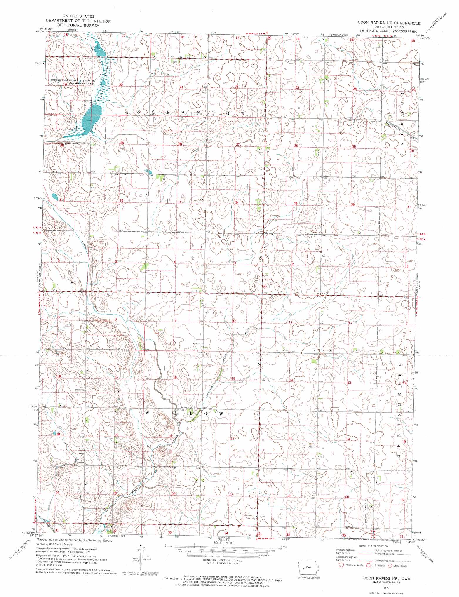
USGS Topo Quad 41094h5 - 1:24,000 scale
| Topo Map Name: | Coon Rapids Ne |
| USGS Topo Quad ID: | 41094h5 |
| Print Size: | ca. 21 1/4" wide x 27" high |
| Southeast Coordinates: | 41.875° N latitude / 94.5° W longitude |
| Map Center Coordinates: | 41.9375° N latitude / 94.5625° W longitude |
| U.S. State: | IA |
| Filename: | o41094h5.jpg |
| Download Map JPG Image: | Coon Rapids Ne topo map 1:24,000 scale |
| Map Type: | Topographic |
| Topo Series: | 7.5´ |
| Map Scale: | 1:24,000 |
| Source of Map Images: | United States Geological Survey (USGS) |
| Alternate Map Versions: |
Coon Rapids NE IA 1971, updated 1973 Download PDF Buy paper map Coon Rapids NE IA 2010 Download PDF Buy paper map Coon Rapids NE IA 2013 Download PDF Buy paper map Coon Rapids NE IA 2015 Download PDF Buy paper map |
1:24,000 Topo Quads surrounding Coon Rapids Ne
Carroll Ne |
Lanesboro |
Wightman |
Churdan |
Paton |
Carroll East |
Glidden |
Scranton |
Jefferson West |
Jefferson East |
Dedham |
Coon Rapids North |
Coon Rapids Ne |
Bagley Nw |
Cooper |
Viola Center |
Coon Rapids South |
Bayard |
Bagley |
Yale |
Gardner |
North Branch |
Guthrie Center West |
Guthrie Center East |
Panora |
> Back to 41094e1 at 1:100,000 scale
> Back to 41094a1 at 1:250,000 scale
> Back to U.S. Topo Maps home
Coon Rapids Ne topo map: Gazetteer
Coon Rapids Ne: Canals
Drainage Ditch Number 117 elevation 338m 1108′Coon Rapids Ne: Guts
Dunbar Slough elevation 340m 1115′Coon Rapids Ne: Parks
Dunbar Slough State Wildlife Management Area elevation 340m 1115′Coon Rapids Ne digital topo map on disk
Buy this Coon Rapids Ne topo map showing relief, roads, GPS coordinates and other geographical features, as a high-resolution digital map file on DVD: