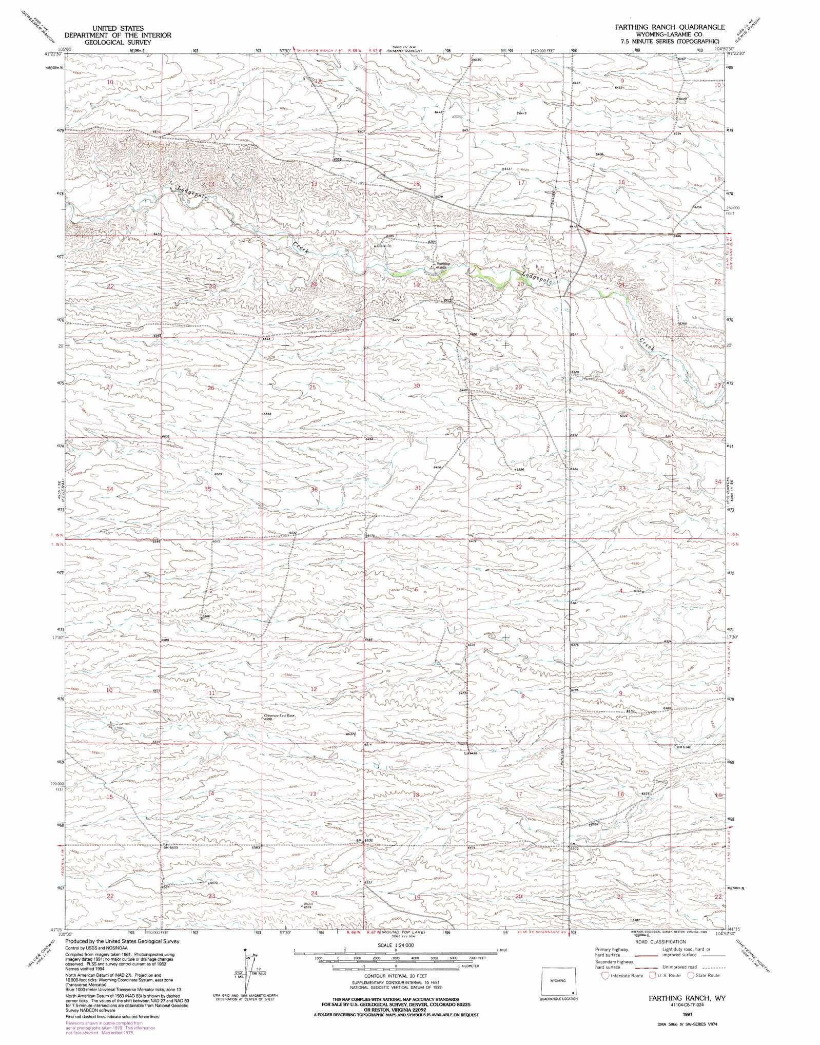
Farthing Ranch Topo Map Wyoming
To zoom in, hover over the map of Farthing Ranch
USGS Topo Quad 41104c8 - 1:24,000 scale
| Topo Map Name: | Farthing Ranch |
| USGS Topo Quad ID: | 41104c8 |
| Print Size: | ca. 21 1/4" wide x 27" high |
| Southeast Coordinates: | 41.25° N latitude / 104.875° W longitude |
| Map Center Coordinates: | 41.3125° N latitude / 104.9375° W longitude |
| U.S. State: | WY |
| Filename: | o41104c8.jpg |
| Download Map JPG Image: | Farthing Ranch topo map 1:24,000 scale |
| Map Type: | Topographic |
| Topo Series: | 7.5´ |
| Map Scale: | 1:24,000 |
| Source of Map Images: | United States Geological Survey (USGS) |
| Alternate Map Versions: |
Farthing Ranch WY 1962, updated 1964 Download PDF Buy paper map Farthing Ranch WY 1962, updated 1978 Download PDF Buy paper map Farthing Ranch WY 1991, updated 1995 Download PDF Buy paper map Farthing Ranch WY 2012 Download PDF Buy paper map Farthing Ranch WY 2015 Download PDF Buy paper map |
1:24,000 Topo Quads surrounding Farthing Ranch
Farthing |
Hirsig Ranch |
Bristol Ridge |
Moffett Ranch |
Indian Hill |
Horse Creek |
Dereemer Ranch |
Nimmo Ranch |
Lewis Ranch |
J H D Ranch |
Islay |
Federal |
Farthing Ranch |
P O Ranch |
Pole Creek Ranch |
Hecla |
Silver Crown |
Round Top Lake |
Cheyenne North |
Archer |
Granite |
Emkay |
Borie |
Cheyenne South |
Altvan |
> Back to 41104a1 at 1:100,000 scale
> Back to 41104a1 at 1:250,000 scale
> Back to U.S. Topo Maps home
No gazetteer data is available for the Farthing Ranch topo map sheet.
Farthing Ranch digital topo map on disk
Buy this Farthing Ranch topo map showing relief, roads, GPS coordinates and other geographical features, as a high-resolution digital map file on DVD:
Eastern Wyoming & Western South Dakota
Buy digital topo maps: Eastern Wyoming & Western South Dakota