Double L Ranch Topo Map Wyoming
To zoom in, hover over the map of Double L Ranch
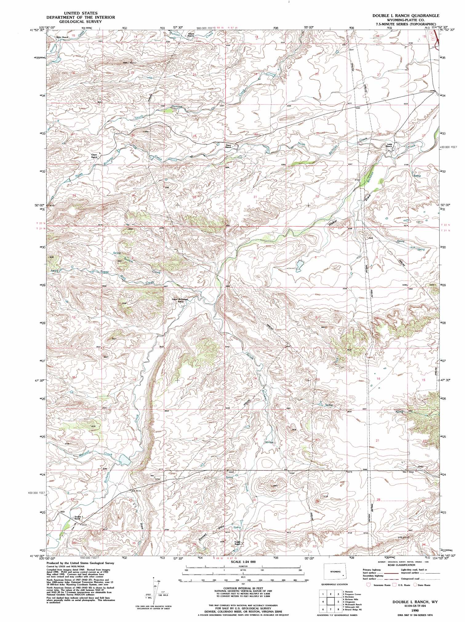
USGS Topo Quad 41104g8 - 1:24,000 scale
| Topo Map Name: | Double L Ranch |
| USGS Topo Quad ID: | 41104g8 |
| Print Size: | ca. 21 1/4" wide x 27" high |
| Southeast Coordinates: | 41.75° N latitude / 104.875° W longitude |
| Map Center Coordinates: | 41.8125° N latitude / 104.9375° W longitude |
| U.S. State: | WY |
| Filename: | o41104g8.jpg |
| Download Map JPG Image: | Double L Ranch topo map 1:24,000 scale |
| Map Type: | Topographic |
| Topo Series: | 7.5´ |
| Map Scale: | 1:24,000 |
| Source of Map Images: | United States Geological Survey (USGS) |
| Alternate Map Versions: |
Double L Ranch WY 1953, updated 1954 Download PDF Buy paper map Double L Ranch WY 1953, updated 1963 Download PDF Buy paper map Double L Ranch WY 1953, updated 1978 Download PDF Buy paper map Double L Ranch WY 1990, updated 1995 Download PDF Buy paper map Double L Ranch WY 2012 Download PDF Buy paper map Double L Ranch WY 2015 Download PDF Buy paper map |
1:24,000 Topo Quads surrounding Double L Ranch
Hightower Sw |
Hightower |
Wheatland |
Antelope Gap |
Eagles Nest |
Squaw Rock |
Natwick |
Ferguson Corner |
Bordeaux |
Dickinson Hill |
Natwick Sw |
Richeau Hills |
Double L Ranch |
Chugwater |
Klutz Canyon |
Delano Ranch |
Mcdonald Ranch |
Whitcomb Hill |
Bristol Ridge Ne |
C S Ranch |
Farthing |
Hirsig Ranch |
Bristol Ridge |
Moffett Ranch |
Indian Hill |
> Back to 41104e1 at 1:100,000 scale
> Back to 41104a1 at 1:250,000 scale
> Back to U.S. Topo Maps home
Double L Ranch topo map: Gazetteer
Double L Ranch: Dams
Double L Dam elevation 1665m 5462′Grant Dam elevation 1659m 5442′
Robert Grant Dam elevation 1710m 5610′
Ryff and Klassert Dam elevation 1703m 5587′
Double L Ranch: Reservoirs
Double L Reservoir elevation 1665m 5462′Grant Reservoir elevation 1659m 5442′
Robert Grant Reservoir elevation 1710m 5610′
Ryff and Klassert Reservoir elevation 1703m 5587′
Double L Ranch: Streams
Maxwell Creek elevation 1686m 5531′North Richeau Creek elevation 1566m 5137′
Scotch Creek elevation 1655m 5429′
South Hunton Creek elevation 1584m 5196′
South Richeau Creek elevation 1665m 5462′
Tepee Ring Creek elevation 1636m 5367′
Double L Ranch: Valleys
L L Draw elevation 1699m 5574′Stewart Draw elevation 1700m 5577′
Walker Draw elevation 1575m 5167′
Double L Ranch digital topo map on disk
Buy this Double L Ranch topo map showing relief, roads, GPS coordinates and other geographical features, as a high-resolution digital map file on DVD:
Eastern Wyoming & Western South Dakota
Buy digital topo maps: Eastern Wyoming & Western South Dakota