Indian Rocks Topo Map Wyoming
To zoom in, hover over the map of Indian Rocks
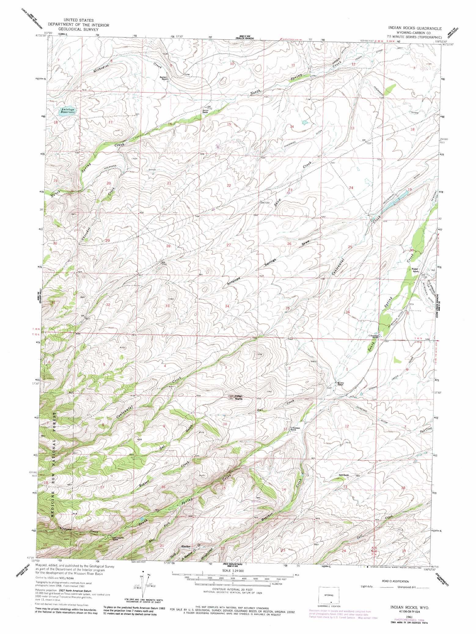
USGS Topo Quad 41106c8 - 1:24,000 scale
| Topo Map Name: | Indian Rocks |
| USGS Topo Quad ID: | 41106c8 |
| Print Size: | ca. 21 1/4" wide x 27" high |
| Southeast Coordinates: | 41.25° N latitude / 106.875° W longitude |
| Map Center Coordinates: | 41.3125° N latitude / 106.9375° W longitude |
| U.S. State: | WY |
| Filename: | o41106c8.jpg |
| Download Map JPG Image: | Indian Rocks topo map 1:24,000 scale |
| Map Type: | Topographic |
| Topo Series: | 7.5´ |
| Map Scale: | 1:24,000 |
| Source of Map Images: | United States Geological Survey (USGS) |
| Alternate Map Versions: |
Indian Rocks WY 1961, updated 1963 Download PDF Buy paper map Indian Rocks WY 1961, updated 1974 Download PDF Buy paper map Indian Rocks WY 1961, updated 1984 Download PDF Buy paper map Indian Rocks WY 2012 Download PDF Buy paper map Indian Rocks WY 2015 Download PDF Buy paper map |
| FStopo: | US Forest Service topo Indian Rocks is available: Download FStopo PDF Download FStopo TIF |
1:24,000 Topo Quads surrounding Indian Rocks
La Marsh Creek East |
Kindt Reservoir |
Overland Crossing |
Overland |
Oberg Ranch |
Middlewood Hill |
Jack Creek Reservoir |
Walck Ranch |
Saratoga |
Finley Reservoir |
Divide Peak |
Sharp Hill |
Indian Rocks |
Cow Creek Ranch |
Cow Creek |
Singer Peak |
Bridger Peak |
Red Mountain |
Encampment |
Gunst Reservoir |
Cottonwood Rim |
Fletcher Peak |
Solomon Creek |
Dudley Creek |
Blackhall Mountain |
> Back to 41106a1 at 1:100,000 scale
> Back to 41106a1 at 1:250,000 scale
> Back to U.S. Topo Maps home
Indian Rocks topo map: Gazetteer
Indian Rocks: Canals
Cherokee Ditch elevation 2210m 7250′Dunkard Ditch elevation 2276m 7467′
Indian Rocks: Dams
Antelope Dam elevation 2265m 7431′Indian Rocks: Reservoirs
Antelope Reservoir elevation 2265m 7431′Indian Rocks: Streams
Beaver Creek elevation 2315m 7595′Cherokee Creek elevation 2214m 7263′
Chippewa Creek elevation 2453m 8047′
East Fork South Spring Creek elevation 2393m 7851′
Heather Creek elevation 2284m 7493′
Methodist Creek elevation 2169m 7116′
North Heather Creek elevation 2434m 7985′
Owl Creek elevation 2265m 7431′
Shingle Creek elevation 2418m 7933′
South Heather Creek elevation 2439m 8001′
Indian Rocks: Summits
Indian Rocks elevation 2431m 7975′Indian Rocks: Valleys
Antelope Springs Draw elevation 2195m 7201′Owl Gulch elevation 2408m 7900′
Indian Rocks digital topo map on disk
Buy this Indian Rocks topo map showing relief, roads, GPS coordinates and other geographical features, as a high-resolution digital map file on DVD:
Eastern Wyoming & Western South Dakota
Buy digital topo maps: Eastern Wyoming & Western South Dakota