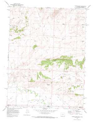
Poison Basin Topo Map Wyoming
To zoom in, hover over the map of Poison Basin
USGS Topo Quad 41107a7 - 1:24,000 scale
| Topo Map Name: | Poison Basin |
| USGS Topo Quad ID: | 41107a7 |
| Print Size: | ca. 21 1/4" wide x 27" high |
| Southeast Coordinates: | 41° N latitude / 107.75° W longitude |
| Map Center Coordinates: | 41.0625° N latitude / 107.8125° W longitude |
| U.S. States: | WY, CO |
| Filename: | o41107a7.jpg |
| Download Map JPG Image: | Poison Basin topo map 1:24,000 scale |
| Map Type: | Topographic |
| Topo Series: | 7.5´ |
| Map Scale: | 1:24,000 |
| Source of Map Images: | United States Geological Survey (USGS) |
| Alternate Map Versions: |
Poison Basin WY 1970, updated 1973 Download PDF Buy paper map Poison Basin WY 1970, updated 1973 Download PDF Buy paper map Poison Basin WY 2010 Download PDF Buy paper map Poison Basin WY 2012 Download PDF Buy paper map Poison Basin WY 2015 Download PDF Buy paper map |
1:24,000 Topo Quads surrounding Poison Basin
> Back to 41107a1 at 1:100,000 scale
> Back to 41106a1 at 1:250,000 scale
> Back to U.S. Topo Maps home
Poison Basin topo map: Gazetteer
Poison Basin: Basins
Poison Basin elevation 1923m 6309′Poison Basin: Canals
Darr Ditch elevation 1870m 6135′Darr Ditch elevation 1867m 6125′
Gibson Blair Ditch elevation 1886m 6187′
Heeley Ditch elevation 1869m 6131′
Heeley Ditch elevation 1868m 6128′
Home Ditch elevation 1867m 6125′
Woodbury Ditch elevation 1869m 6131′
Woodbury Ditch elevation 1869m 6131′
Poison Basin: Cliffs
Red Creek Rim elevation 2024m 6640′Poison Basin: Mines
Alpha Claim Group Mine elevation 1962m 6437′Cedar Hills One-twelve Mines elevation 1983m 6505′
Jack Rabbit One-ten Mines elevation 1951m 6400′
Lucky Strike Claims elevation 1952m 6404′
Matt Three Mine elevation 1940m 6364′
Murphy Mine elevation 1996m 6548′
Teton One Mine elevation 1921m 6302′
Teton Three Mine elevation 1921m 6302′
Titan Mine elevation 1975m 6479′
Poison Basin: Reservoirs
Adobe Reservoir elevation 1981m 6499′Dead Tree Reservoir elevation 1999m 6558′
Flat Draw Reservoir elevation 1988m 6522′
Gamblers Reservoir elevation 2013m 6604′
Long Walk Reservoir elevation 1952m 6404′
Paintbrush Reservoir elevation 1978m 6489′
Red Creek Reservoir elevation 1964m 6443′
River Bottom Reservoir elevation 1916m 6286′
Spragg Reservoir elevation 1964m 6443′
Strom Reservoir elevation 1961m 6433′
Poison Basin: Streams
Middle Prong Red Creek elevation 1923m 6309′North Prong Red Creek elevation 1904m 6246′
Red Creek elevation 1858m 6095′
Sand Creek elevation 1854m 6082′
Poison Basin: Summits
Poison Buttes elevation 1927m 6322′Poison Basin: Trails
Main Fork Trail elevation 1922m 6305′Poison Basin: Valleys
Poison Draw elevation 1884m 6181′Poison Basin digital topo map on disk
Buy this Poison Basin topo map showing relief, roads, GPS coordinates and other geographical features, as a high-resolution digital map file on DVD:
Eastern Wyoming & Western South Dakota
Buy digital topo maps: Eastern Wyoming & Western South Dakota


