Antelope Knoll Ne Topo Map Wyoming
To zoom in, hover over the map of Antelope Knoll Ne
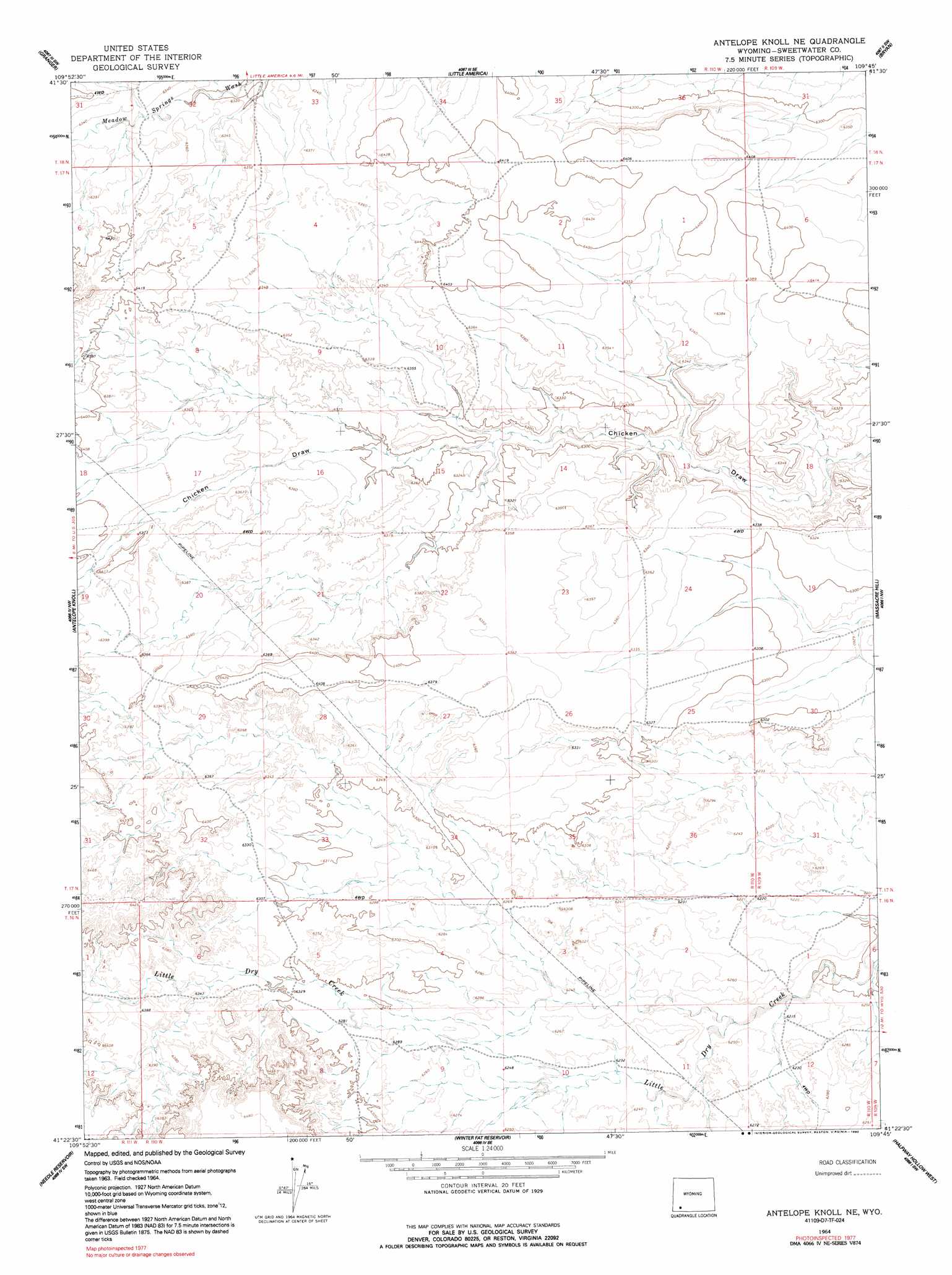
USGS Topo Quad 41109d7 - 1:24,000 scale
| Topo Map Name: | Antelope Knoll Ne |
| USGS Topo Quad ID: | 41109d7 |
| Print Size: | ca. 21 1/4" wide x 27" high |
| Southeast Coordinates: | 41.375° N latitude / 109.75° W longitude |
| Map Center Coordinates: | 41.4375° N latitude / 109.8125° W longitude |
| U.S. State: | WY |
| Filename: | o41109d7.jpg |
| Download Map JPG Image: | Antelope Knoll Ne topo map 1:24,000 scale |
| Map Type: | Topographic |
| Topo Series: | 7.5´ |
| Map Scale: | 1:24,000 |
| Source of Map Images: | United States Geological Survey (USGS) |
| Alternate Map Versions: |
Antelope Knoll NE WY 1964, updated 1968 Download PDF Buy paper map Antelope Knoll NE WY 1964, updated 1992 Download PDF Buy paper map Antelope Knoll NE WY 2012 Download PDF Buy paper map Antelope Knoll NE WY 2015 Download PDF Buy paper map |
1:24,000 Topo Quads surrounding Antelope Knoll Ne
Moxa |
Sevenmile Gulch |
Blue Point |
Stevens Flat |
Austin Ranch |
Verne |
Granger |
Little America |
Bryan |
Peru |
Wildcat Butte |
Antelope Knoll |
Antelope Knoll Ne |
Massacre Hill |
Blacks Fork Bridge |
Butcher Knife Draw |
Needle Reservoir |
Winter Fat Reservoir |
Halfway Hollow West |
Halfway Hollow East |
Soap Holes Reservoir |
Horse Ranch |
Black Spring Reservoir |
Devils Playground |
Haystack Buttes North |
> Back to 41109a1 at 1:100,000 scale
> Back to 41108a1 at 1:250,000 scale
> Back to U.S. Topo Maps home
No gazetteer data is available for the Antelope Knoll Ne topo map sheet.
Antelope Knoll Ne digital topo map on disk
Buy this Antelope Knoll Ne topo map showing relief, roads, GPS coordinates and other geographical features, as a high-resolution digital map file on DVD: