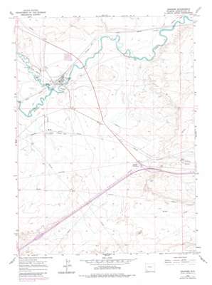
Granger Topo Map Wyoming
To zoom in, hover over the map of Granger
USGS Topo Quad 41109e8 - 1:24,000 scale
| Topo Map Name: | Granger |
| USGS Topo Quad ID: | 41109e8 |
| Print Size: | ca. 21 1/4" wide x 27" high |
| Southeast Coordinates: | 41.5° N latitude / 109.875° W longitude |
| Map Center Coordinates: | 41.5625° N latitude / 109.9375° W longitude |
| U.S. State: | WY |
| Filename: | o41109e8.jpg |
| Download Map JPG Image: | Granger topo map 1:24,000 scale |
| Map Type: | Topographic |
| Topo Series: | 7.5´ |
| Map Scale: | 1:24,000 |
| Source of Map Images: | United States Geological Survey (USGS) |
| Alternate Map Versions: |
Granger WY 1961, updated 1964 Download PDF Buy paper map Granger WY 1961, updated 1981 Download PDF Buy paper map Granger WY 2012 Download PDF Buy paper map Granger WY 2015 Download PDF Buy paper map |
1:24,000 Topo Quads surrounding Granger
> Back to 41109e1 at 1:100,000 scale
> Back to 41108a1 at 1:250,000 scale
> Back to U.S. Topo Maps home
Granger topo map: Gazetteer
Granger: Mines
Granger Number Two Mine elevation 1953m 6407′Texasgulf-Trona Mine elevation 1924m 6312′
Granger: Parks
Granger Stage Station Historical Marker elevation 1910m 6266′Granger: Populated Places
Granger elevation 1912m 6272′Granger Junction elevation 1945m 6381′
Granger: Streams
Hams Fork elevation 1909m 6263′Granger digital topo map on disk
Buy this Granger topo map showing relief, roads, GPS coordinates and other geographical features, as a high-resolution digital map file on DVD:


