Dairy Valley Topo Map Nevada
To zoom in, hover over the map of Dairy Valley
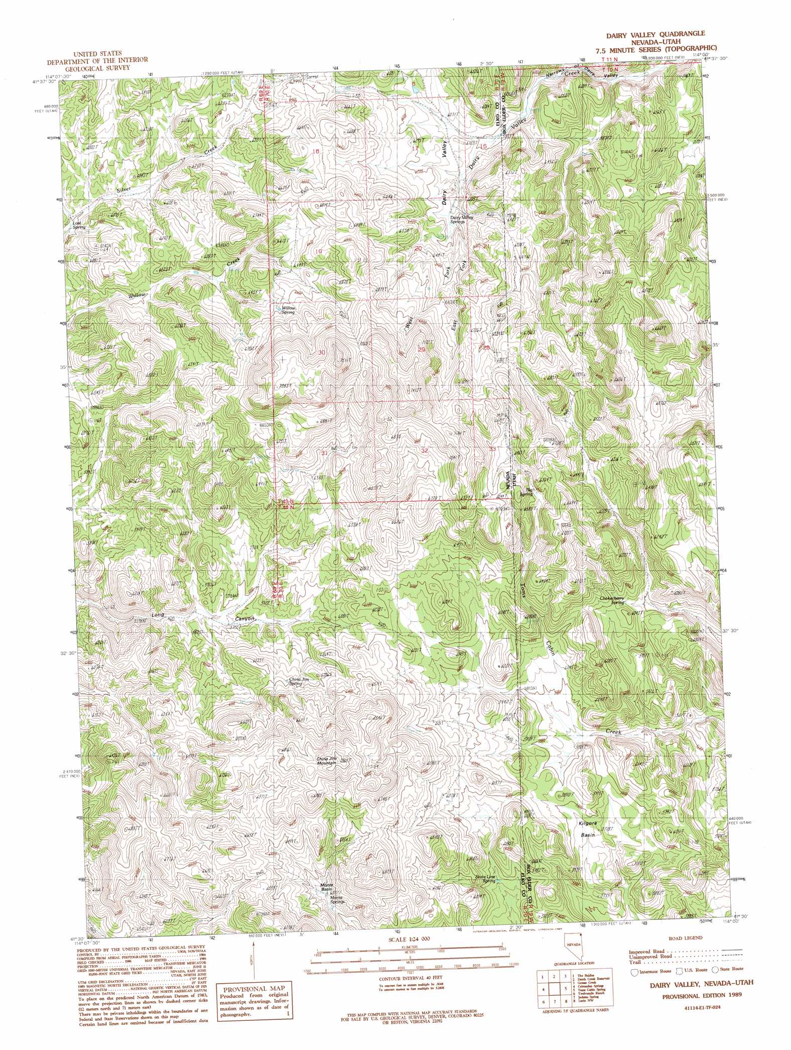
USGS Topo Quad 41114e1 - 1:24,000 scale
| Topo Map Name: | Dairy Valley |
| USGS Topo Quad ID: | 41114e1 |
| Print Size: | ca. 21 1/4" wide x 27" high |
| Southeast Coordinates: | 41.5° N latitude / 114° W longitude |
| Map Center Coordinates: | 41.5625° N latitude / 114.0625° W longitude |
| U.S. States: | NV, UT |
| Filename: | o41114e1.jpg |
| Download Map JPG Image: | Dairy Valley topo map 1:24,000 scale |
| Map Type: | Topographic |
| Topo Series: | 7.5´ |
| Map Scale: | 1:24,000 |
| Source of Map Images: | United States Geological Survey (USGS) |
| Alternate Map Versions: |
Dairy Valley NV 1989, updated 1989 Download PDF Buy paper map Dairy Valley NV 2011 Download PDF Buy paper map Dairy Valley NV 2012 Download PDF Buy paper map Dairy Valley NV 2014 Download PDF Buy paper map |
1:24,000 Topo Quads surrounding Dairy Valley
Mustang Draw |
Cedar Mountain Draw |
Judd Mountain |
Dry Canyon Mountain |
Kimbell Creek |
Dry Canyon |
The Baldies |
Death Creek Reservoir |
Grouse Creek |
Ingham Canyon |
Delano Peak |
Crittenden Springs |
Dairy Valley |
Toms Cabin Spring |
Rocky Pass Peak |
Ninemile Mountain Ne |
Twelvemile Ranch |
Jackson Spring |
Lucin Nw |
Lucin Ne |
Montello Canyon |
Montello |
Tecoma |
Lucin |
Pigeon Mountain |
> Back to 41114e1 at 1:100,000 scale
> Back to 41114a1 at 1:250,000 scale
> Back to U.S. Topo Maps home
Dairy Valley topo map: Gazetteer
Dairy Valley: Basins
Kilgore Basin elevation 1757m 5764′Monte Basin elevation 1903m 6243′
Dairy Valley: Gaps
Narrows of Dairy Valley elevation 1764m 5787′Dairy Valley: Springs
Big Spring elevation 1935m 6348′China Jim Spring elevation 1890m 6200′
Chokecherry Spring elevation 1806m 5925′
Dairy Valley Springs elevation 1877m 6158′
Lost Spring elevation 1764m 5787′
Monte Springs elevation 1849m 6066′
State Line Spring elevation 1752m 5748′
Willow Spring elevation 2024m 6640′
Dairy Valley: Streams
Grouse Creek elevation 1825m 5987′Dairy Valley: Summits
China Jim Mountain elevation 2141m 7024′Dairy Valley: Valleys
Dairy Valley elevation 1823m 5980′Dairy Valley digital topo map on disk
Buy this Dairy Valley topo map showing relief, roads, GPS coordinates and other geographical features, as a high-resolution digital map file on DVD: