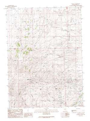
Contact Topo Map Nevada
To zoom in, hover over the map of Contact
USGS Topo Quad 41114g7 - 1:24,000 scale
| Topo Map Name: | Contact |
| USGS Topo Quad ID: | 41114g7 |
| Print Size: | ca. 21 1/4" wide x 27" high |
| Southeast Coordinates: | 41.75° N latitude / 114.75° W longitude |
| Map Center Coordinates: | 41.8125° N latitude / 114.8125° W longitude |
| U.S. State: | NV |
| Filename: | o41114g7.jpg |
| Download Map JPG Image: | Contact topo map 1:24,000 scale |
| Map Type: | Topographic |
| Topo Series: | 7.5´ |
| Map Scale: | 1:24,000 |
| Source of Map Images: | United States Geological Survey (USGS) |
| Alternate Map Versions: |
Contact NV 1989, updated 1989 Download PDF Buy paper map Contact NV 2012 Download PDF Buy paper map Contact NV 2014 Download PDF Buy paper map |
1:24,000 Topo Quads surrounding Contact
> Back to 41114e1 at 1:100,000 scale
> Back to 41114a1 at 1:250,000 scale
> Back to U.S. Topo Maps home
Contact topo map: Gazetteer
Contact: Basins
Mahogany Basin elevation 1860m 6102′Contact: Flats
Cottonwood Field elevation 1966m 6450′Contact: Mines
Antelope Mine elevation 1886m 6187′Bellevue Mine elevation 1831m 6007′
Blue Bird Mine elevation 1669m 5475′
Bonanza Mine elevation 2167m 7109′
Brooklyn Mine elevation 2059m 6755′
Copper King Mine elevation 2137m 7011′
Copper Shield Mine elevation 2174m 7132′
Delano Mine elevation 1882m 6174′
Mammoth Mine elevation 2231m 7319′
Marshall Mine elevation 1763m 5784′
Nevada Bellevue Mine elevation 1787m 5862′
Palo Alto Mine elevation 1870m 6135′
Silver Circle Mine elevation 2172m 7125′
Contact: Populated Places
Contact elevation 1631m 5351′Contact: Post Offices
Contact Post Office (historical) elevation 1696m 5564′Contact: Ranges
Salmon River Range elevation 2168m 7112′Contact: Springs
Bear Spring elevation 1995m 6545′Contact: Summits
Ellen D Mountain elevation 2614m 8576′Tabletop Mountain elevation 2086m 6843′
Contact digital topo map on disk
Buy this Contact topo map showing relief, roads, GPS coordinates and other geographical features, as a high-resolution digital map file on DVD:


