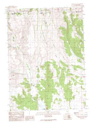
Fivemile Gulch Topo Map Nevada
To zoom in, hover over the map of Fivemile Gulch
USGS Topo Quad 41114h2 - 1:24,000 scale
| Topo Map Name: | Fivemile Gulch |
| USGS Topo Quad ID: | 41114h2 |
| Print Size: | ca. 21 1/4" wide x 27" high |
| Southeast Coordinates: | 41.875° N latitude / 114.125° W longitude |
| Map Center Coordinates: | 41.9375° N latitude / 114.1875° W longitude |
| U.S. States: | NV, ID |
| Filename: | o41114h2.jpg |
| Download Map JPG Image: | Fivemile Gulch topo map 1:24,000 scale |
| Map Type: | Topographic |
| Topo Series: | 7.5´ |
| Map Scale: | 1:24,000 |
| Source of Map Images: | United States Geological Survey (USGS) |
| Alternate Map Versions: |
Fivemile Gulch NV 1989, updated 1989 Download PDF Buy paper map Fivemile Gulch NV 2012 Download PDF Buy paper map Fivemile Gulch NV 2014 Download PDF Buy paper map |
| FStopo: | US Forest Service topo Fivemile Gulch is available: Download FStopo PDF Download FStopo TIF |
1:24,000 Topo Quads surrounding Fivemile Gulch
> Back to 41114e1 at 1:100,000 scale
> Back to 41114a1 at 1:250,000 scale
> Back to U.S. Topo Maps home
Fivemile Gulch topo map: Gazetteer
Fivemile Gulch: Parks
Goose Creek State Recreation Ground and Game Refuge elevation 1677m 5501′Fivemile Gulch: Springs
Buck Springs elevation 1963m 6440′Fivemile Springs elevation 1831m 6007′
Sand Spring elevation 1708m 5603′
Whitey Davis Spring elevation 1910m 6266′
Fivemile Gulch: Streams
Coon Creek elevation 1676m 5498′Piney Creek elevation 1677m 5501′
Piney Creek elevation 1677m 5501′
Stratton Creek elevation 1692m 5551′
Thoroughbred Creek elevation 1727m 5666′
Willow Creek elevation 1639m 5377′
Fivemile Gulch: Summits
Sugar Loaf Peak elevation 1908m 6259′Fivemile Gulch digital topo map on disk
Buy this Fivemile Gulch topo map showing relief, roads, GPS coordinates and other geographical features, as a high-resolution digital map file on DVD:


