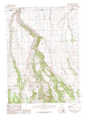
Robinson Creek Topo Map Nevada
To zoom in, hover over the map of Robinson Creek
USGS Topo Quad 41115h3 - 1:24,000 scale
| Topo Map Name: | Robinson Creek |
| USGS Topo Quad ID: | 41115h3 |
| Print Size: | ca. 21 1/4" wide x 27" high |
| Southeast Coordinates: | 41.875° N latitude / 115.25° W longitude |
| Map Center Coordinates: | 41.9375° N latitude / 115.3125° W longitude |
| U.S. States: | NV, ID |
| Filename: | o41115h3.jpg |
| Download Map JPG Image: | Robinson Creek topo map 1:24,000 scale |
| Map Type: | Topographic |
| Topo Series: | 7.5´ |
| Map Scale: | 1:24,000 |
| Source of Map Images: | United States Geological Survey (USGS) |
| Alternate Map Versions: |
Robinson Creek NV 1986, updated 1987 Download PDF Buy paper map Robinson Creek NV 2012 Download PDF Buy paper map Robinson Creek NV 2014 Download PDF Buy paper map |
| FStopo: | US Forest Service topo Robinson Creek is available: Download FStopo PDF Download FStopo TIF |
1:24,000 Topo Quads surrounding Robinson Creek
> Back to 41115e1 at 1:100,000 scale
> Back to 41114a1 at 1:250,000 scale
> Back to U.S. Topo Maps home
Robinson Creek topo map: Gazetteer
Robinson Creek: Areas
Little Island elevation 2043m 6702′Robinson Creek: Bays
Robinson Hole elevation 1824m 5984′Robinson Creek: Benches
Palomino Bench elevation 2358m 7736′Robinson Creek: Capes
Cougar Point elevation 2133m 6998′Robinson Creek: Mines
Empire Mine elevation 2499m 8198′Red Blowout Mine elevation 2552m 8372′
Robinson Creek: Plains
Inside Desert elevation 1977m 6486′Robinson Creek: Reservoirs
Jack Creek Tank elevation 2486m 8156′Robinson Creek: Ridges
Biroth Ridge elevation 2588m 8490′Robinson Creek: Springs
Jim Bob Spring elevation 2524m 8280′Robinson Creek: Streams
Dave Creek elevation 1653m 5423′Jim Bob Creek elevation 2151m 7057′
Robinson Creek elevation 1840m 6036′
Robinson Creek: Valleys
Dove Creek Canyon elevation 1620m 5314′Robinson Creek digital topo map on disk
Buy this Robinson Creek topo map showing relief, roads, GPS coordinates and other geographical features, as a high-resolution digital map file on DVD:


