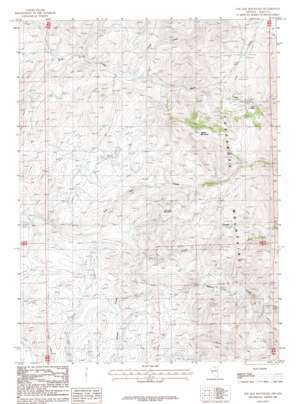
Toe Jam Mountain Topo Map Nevada
To zoom in, hover over the map of Toe Jam Mountain
USGS Topo Quad 41116c4 - 1:24,000 scale
| Topo Map Name: | Toe Jam Mountain |
| USGS Topo Quad ID: | 41116c4 |
| Print Size: | ca. 21 1/4" wide x 27" high |
| Southeast Coordinates: | 41.25° N latitude / 116.375° W longitude |
| Map Center Coordinates: | 41.3125° N latitude / 116.4375° W longitude |
| U.S. State: | NV |
| Filename: | o41116c4.jpg |
| Download Map JPG Image: | Toe Jam Mountain topo map 1:24,000 scale |
| Map Type: | Topographic |
| Topo Series: | 7.5´ |
| Map Scale: | 1:24,000 |
| Source of Map Images: | United States Geological Survey (USGS) |
| Alternate Map Versions: |
Toe Jam Mountain NV 1987, updated 1987 Download PDF Buy paper map Toe Jam Mountain NV 2012 Download PDF Buy paper map Toe Jam Mountain NV 2014 Download PDF Buy paper map |
1:24,000 Topo Quads surrounding Toe Jam Mountain
> Back to 41116a1 at 1:100,000 scale
> Back to 41116a1 at 1:250,000 scale
> Back to U.S. Topo Maps home
Toe Jam Mountain topo map: Gazetteer
Toe Jam Mountain: Mines
Falcon Mines elevation 1997m 6551′Scorpion Works elevation 1992m 6535′
Toe Jam Mountain: Post Offices
Falcon Post Office (historical) elevation 1997m 6551′Toe Jam Mountain: Streams
Dry Creek elevation 1914m 6279′Lewis Creek elevation 1753m 5751′
Pole Creek elevation 1811m 5941′
Willow Creek elevation 1755m 5757′
Toe Jam Mountain: Summits
Toe Jam Mountain elevation 2160m 7086′Walker Mountain elevation 2318m 7604′
Toe Jam Mountain digital topo map on disk
Buy this Toe Jam Mountain topo map showing relief, roads, GPS coordinates and other geographical features, as a high-resolution digital map file on DVD:


