Barrett Springs Topo Map Nevada
To zoom in, hover over the map of Barrett Springs
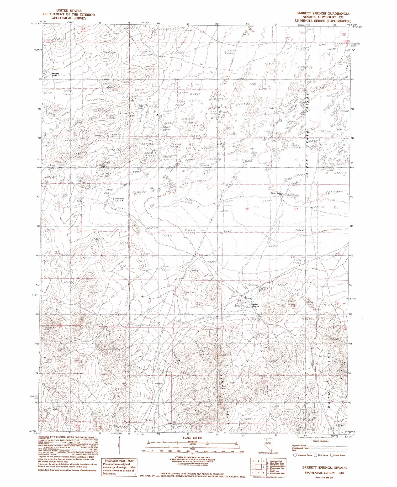
USGS Topo Quad 41117a8 - 1:24,000 scale
| Topo Map Name: | Barrett Springs |
| USGS Topo Quad ID: | 41117a8 |
| Print Size: | ca. 21 1/4" wide x 27" high |
| Southeast Coordinates: | 41° N latitude / 117.875° W longitude |
| Map Center Coordinates: | 41.0625° N latitude / 117.9375° W longitude |
| U.S. State: | NV |
| Filename: | o41117a8.jpg |
| Download Map JPG Image: | Barrett Springs topo map 1:24,000 scale |
| Map Type: | Topographic |
| Topo Series: | 7.5´ |
| Map Scale: | 1:24,000 |
| Source of Map Images: | United States Geological Survey (USGS) |
| Alternate Map Versions: |
Barrett Springs NV 1981, updated 1982 Download PDF Buy paper map Barrett Springs NV 2011 Download PDF Buy paper map Barrett Springs NV 2015 Download PDF Buy paper map |
1:24,000 Topo Quads surrounding Barrett Springs
Bottle Creek Slough Sw |
Jackson Well |
Awakening Peak |
Mud Spring Canyon |
Paradise Well |
Presnel Well |
Sombrero Peak |
Silver State Draw |
Bloody Run Peak |
China Garden |
Lay Waterhole |
Mormon Dan Butte |
Barrett Springs |
Winnemucca Mountain |
Weso |
Gaskell |
Pronto |
Rose Creek |
Winnemucca West |
Winnemucca East |
Woody Canyon |
Cosgrave |
Dun Glen Peak |
Rose Creek Mountain |
Sonoma Canyon |
> Back to 41117a1 at 1:100,000 scale
> Back to 41116a1 at 1:250,000 scale
> Back to U.S. Topo Maps home
Barrett Springs topo map: Gazetteer
Barrett Springs: Mines
Barrett Springs Mine elevation 1430m 4691′Barrett Springs: Populated Places
Barrett Springs (historical) elevation 1308m 4291′Laurel (historical) elevation 1464m 4803′
Barrett Springs: Post Offices
Laurel Post Office (historical) elevation 1464m 4803′Barrett Springs: Ranges
Tenmile Hills elevation 1449m 4753′Barrett Springs: Springs
Barrett Springs elevation 1311m 4301′Barrett Springs: Wells
Barrett Springs Well elevation 1271m 4169′Barrett Springs digital topo map on disk
Buy this Barrett Springs topo map showing relief, roads, GPS coordinates and other geographical features, as a high-resolution digital map file on DVD: