Greeley Flat Se Topo Map Nevada
To zoom in, hover over the map of Greeley Flat Se
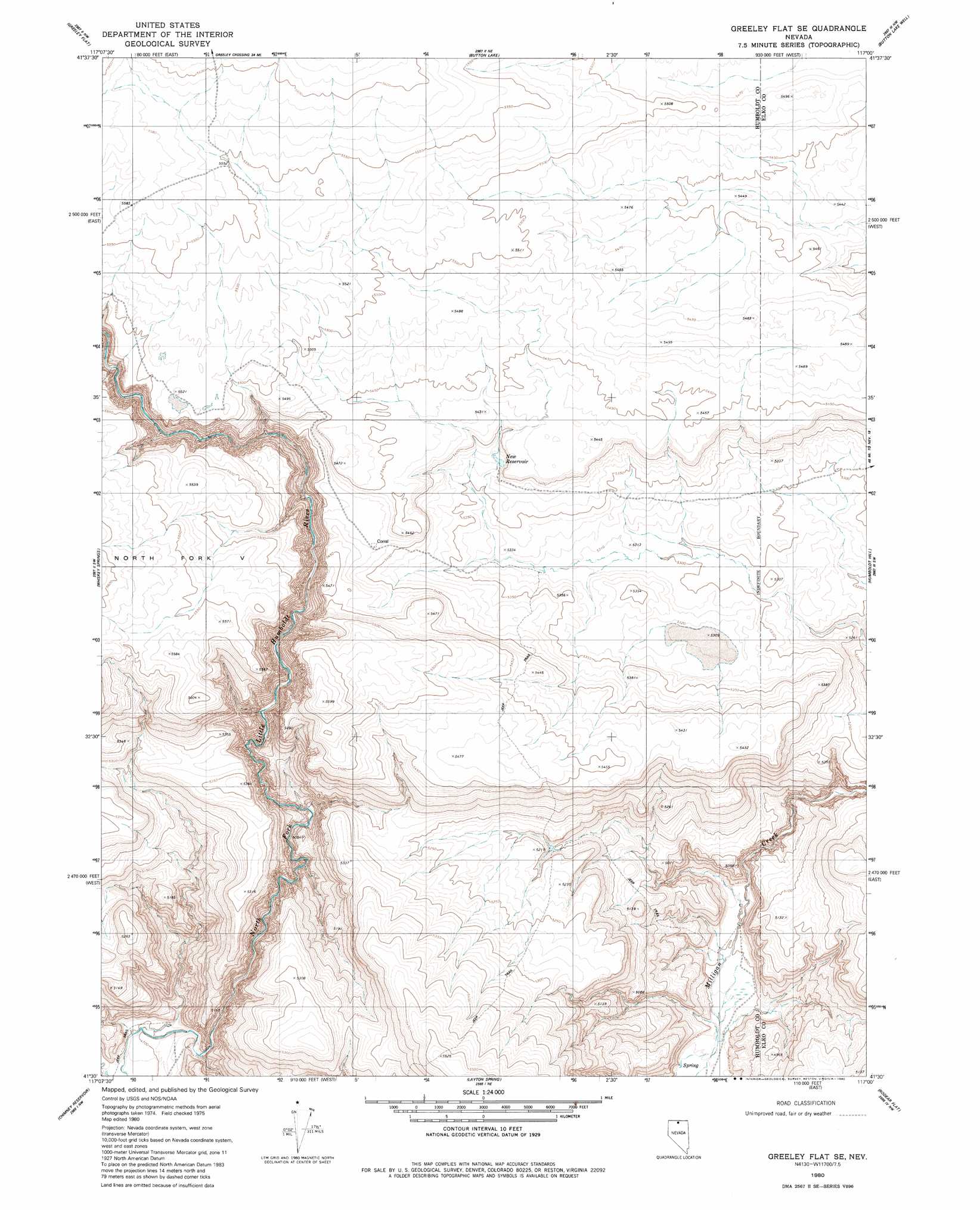
USGS Topo Quad 41117e1 - 1:24,000 scale
| Topo Map Name: | Greeley Flat Se |
| USGS Topo Quad ID: | 41117e1 |
| Print Size: | ca. 21 1/4" wide x 27" high |
| Southeast Coordinates: | 41.5° N latitude / 117° W longitude |
| Map Center Coordinates: | 41.5625° N latitude / 117.0625° W longitude |
| U.S. State: | NV |
| Filename: | o41117e1.jpg |
| Download Map JPG Image: | Greeley Flat Se topo map 1:24,000 scale |
| Map Type: | Topographic |
| Topo Series: | 7.5´ |
| Map Scale: | 1:24,000 |
| Source of Map Images: | United States Geological Survey (USGS) |
| Alternate Map Versions: |
Greeley Flat SE NV 1980, updated 1980 Download PDF Buy paper map Greeley Flat SE NV 2012 Download PDF Buy paper map Greeley Flat SE NV 2015 Download PDF Buy paper map |
1:24,000 Topo Quads surrounding Greeley Flat Se
Capitol Peak |
Maiden Butte |
Maiden Butte Se |
Star Valley Ridge Sw |
Star Valley Ridge Se |
Coyote Mountain |
Greeley Flat |
Button Lake |
Button Lake Well |
Corral Lake |
Hardscrabble |
Whiskey Springs |
Greeley Flat Se |
Humboldt Hill |
Mccleary Wells |
Fairbanks Canyon |
Chimney Reservoir |
Layton Spring |
Rodear Flat |
Haystack Peak |
Eden Valley |
Dry Hills North |
Kenny Creek |
Snowstorm Mountain |
Oregon Canyon |
> Back to 41117e1 at 1:100,000 scale
> Back to 41116a1 at 1:250,000 scale
> Back to U.S. Topo Maps home
Greeley Flat Se digital topo map on disk
Buy this Greeley Flat Se topo map showing relief, roads, GPS coordinates and other geographical features, as a high-resolution digital map file on DVD: