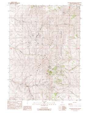
Buckskin Mountain Topo Map Nevada
To zoom in, hover over the map of Buckskin Mountain
USGS Topo Quad 41117g5 - 1:24,000 scale
| Topo Map Name: | Buckskin Mountain |
| USGS Topo Quad ID: | 41117g5 |
| Print Size: | ca. 21 1/4" wide x 27" high |
| Southeast Coordinates: | 41.75° N latitude / 117.5° W longitude |
| Map Center Coordinates: | 41.8125° N latitude / 117.5625° W longitude |
| U.S. State: | NV |
| Filename: | o41117g5.jpg |
| Download Map JPG Image: | Buckskin Mountain topo map 1:24,000 scale |
| Map Type: | Topographic |
| Topo Series: | 7.5´ |
| Map Scale: | 1:24,000 |
| Source of Map Images: | United States Geological Survey (USGS) |
| Alternate Map Versions: |
Buckskin Mountain NV 1991, updated 1991 Download PDF Buy paper map Buckskin Mountain NV 2011 Download PDF Buy paper map Buckskin Mountain NV 2015 Download PDF Buy paper map |
| FStopo: | US Forest Service topo Buckskin Mountain is available: Download FStopo PDF Download FStopo TIF |
1:24,000 Topo Quads surrounding Buckskin Mountain
> Back to 41117e1 at 1:100,000 scale
> Back to 41116a1 at 1:250,000 scale
> Back to U.S. Topo Maps home
Buckskin Mountain topo map: Gazetteer
Buckskin Mountain: Cliffs
Buckskin Slide elevation 2347m 7700′Buckskin Mountain: Gaps
Windy Gap elevation 2251m 7385′Buckskin Mountain: Mines
Birthday Mine elevation 1823m 5980′Blum Shaft elevation 1977m 6486′
Buckskin National Mine elevation 2356m 7729′
Caustin Mine elevation 2064m 6771′
Chefoo Tunnel elevation 1980m 6496′
Crawford Mine elevation 1870m 6135′
Edmunds Mine elevation 1833m 6013′
First National Mine elevation 2119m 6952′
Halcyon Mine elevation 2348m 7703′
Hatch Mine elevation 1985m 6512′
Indian Valley Mine elevation 1812m 5944′
Mammoth Mine elevation 1971m 6466′
McCormick Mine elevation 2429m 7969′
National Mine elevation 1906m 6253′
Paradise Mine elevation 2578m 8458′
Union Mine elevation 1988m 6522′
Utah National Mine elevation 2071m 6794′
Buckskin Mountain: Populated Places
National (historical) elevation 1860m 6102′Buckskin Mountain: Post Offices
National Post Office (historical) elevation 1860m 6102′Buckskin Mountain: Ridges
Staunton Ridge elevation 2220m 7283′Buckskin Mountain: Streams
Buckskin Creek elevation 1731m 5679′North Fork Canyon Creek elevation 1596m 5236′
South Fork Canyon Creek elevation 1644m 5393′
South Fork Eightmile Creek elevation 1754m 5754′
Buckskin Mountain: Summits
Auto Hill elevation 2023m 6637′Buckskin Mountain elevation 2659m 8723′
Charleston Hill elevation 2293m 7522′
Eightmile Mountain elevation 2397m 7864′
Radiator Hill elevation 1934m 6345′
Round Hill elevation 2043m 6702′
White Hill elevation 2074m 6804′
Buckskin Mountain: Valleys
Charleston Gulch elevation 1656m 5433′National Gulch elevation 1790m 5872′
Buckskin Mountain digital topo map on disk
Buy this Buckskin Mountain topo map showing relief, roads, GPS coordinates and other geographical features, as a high-resolution digital map file on DVD:


