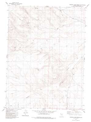
Chester Lyons Spring Topo Map Nevada
To zoom in, hover over the map of Chester Lyons Spring
USGS Topo Quad 41119b5 - 1:24,000 scale
| Topo Map Name: | Chester Lyons Spring |
| USGS Topo Quad ID: | 41119b5 |
| Print Size: | ca. 21 1/4" wide x 27" high |
| Southeast Coordinates: | 41.125° N latitude / 119.5° W longitude |
| Map Center Coordinates: | 41.1875° N latitude / 119.5625° W longitude |
| U.S. State: | NV |
| Filename: | o41119b5.jpg |
| Download Map JPG Image: | Chester Lyons Spring topo map 1:24,000 scale |
| Map Type: | Topographic |
| Topo Series: | 7.5´ |
| Map Scale: | 1:24,000 |
| Source of Map Images: | United States Geological Survey (USGS) |
| Alternate Map Versions: |
Chester Lyons Spring NV 1979, updated 1980 Download PDF Buy paper map Chester Lyons Spring NV 2011 Download PDF Buy paper map Chester Lyons Spring NV 2015 Download PDF Buy paper map |
1:24,000 Topo Quads surrounding Chester Lyons Spring
> Back to 41119a1 at 1:100,000 scale
> Back to 41118a1 at 1:250,000 scale
> Back to U.S. Topo Maps home
Chester Lyons Spring topo map: Gazetteer
Chester Lyons Spring: Springs
Chester Lyons Spring elevation 1704m 5590′Findman Spring elevation 1761m 5777′
Gillam Spring elevation 1671m 5482′
Chester Lyons Spring: Streams
Clover Creek elevation 1665m 5462′Grass Valley Creek elevation 1652m 5419′
Texas Creek elevation 1683m 5521′
Chester Lyons Spring digital topo map on disk
Buy this Chester Lyons Spring topo map showing relief, roads, GPS coordinates and other geographical features, as a high-resolution digital map file on DVD:


